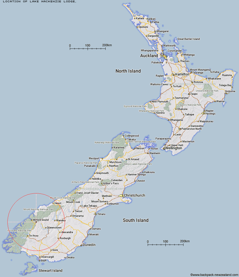
Topo Map showing location of Lake Mackenzie Lodge
This information is sourced from DoC, LINZ and Openstreetmap. Some of the hut photos are mine and the rest are from DoC. I will be adding an upload feature soon so people can photos of .Lake Mackenzie Lodge.
Latitude: -44.7687644826
Longitude: 168.173425184
Location:
Type of Hut:
Map: Topo Map | Road Map
Does this hut still exist? Have any more information? Contact
Latitude: -44.7687644826
Longitude: 168.173425184
Location:
Type of Hut:
Map: Topo Map | Road Map
Does this hut still exist? Have any more information? Contact
Scroll down to see a topographical map and road map showing the location of Lake Mackenzie Lodge
[ A ] [ B ] [ C ] [ D ] [ E ] [ F ] [ G ] [ H ] [ I ] [ J ] [ K ] [ L ] [ M ] [ N ] [ O ] [ P ] [ Q ] [ R ] [ S ] [ T ] [ U ] [ V ] [ W ] [ Y ] [ Z ]
Closest 20 Huts to Lake Mackenzie Lodge
These are as the crow fliesLake Mackenzie Hut 0.14km Routeburn Falls Lodge 5.14km Routeburn Falls Hut 5.19km Routeburn Flats Hut 5.83km Lake Howden Hut 6.01km Kay Creek Hut 6.68km The Divide Shelter 7.64km Upper Caples Hut 9.2km Routeburn Shelter 9.97km Phil's Bivvy 11.04km McKellar Lodge 11.46km Gill's Bivvy 11.57km McKellar Hut 11.67km Homer Hut 13.49km Mid Caples Hut 15.79km Sunshine Hut 16.12km Hidden Falls Hut 16.8km Steele Creek Hut 17.88km Home Hill Hut 18.39km Rats Nest Hut 19.64km Turners Bivouac 20.44km Steele Creek Lodge 21.7km Slip Flat Hut 22.32km McIntyre's Hut 22.7km McIntosh Hut 23.4km Sandfly Point Shelter 23.46km Jean Hut 23.49km Bonnie Jean Hut 23.97km Heather Jock Hut 24.21km Greenstone Hut 24.44km Pawnbroker Rock 24.81km Lake Alabaster Hut 24.89km Esquilant Bivvy Hut 25.14km Glade House 25.69km Clinton Hut 25.87km Wallers Hut 26.2km Giant Gate Shelter 26.39km Kelly's Hut 27.02km Earnslaw Hut 27.14km Twenty Five Mile Hut 27.46km