Topo Map showing location of Kahunui Hut
This information is sourced from DoC, LINZ and Openstreetmap. Some of the hut photos are mine and the rest are from DoC. I will be adding an upload feature soon so people can photos of .Kahunui Hut.
Basic info: standard six-bunk hut in the Waioeka Conservation Area.
Latitude: -38.4797085314
Longitude: 177.276879674
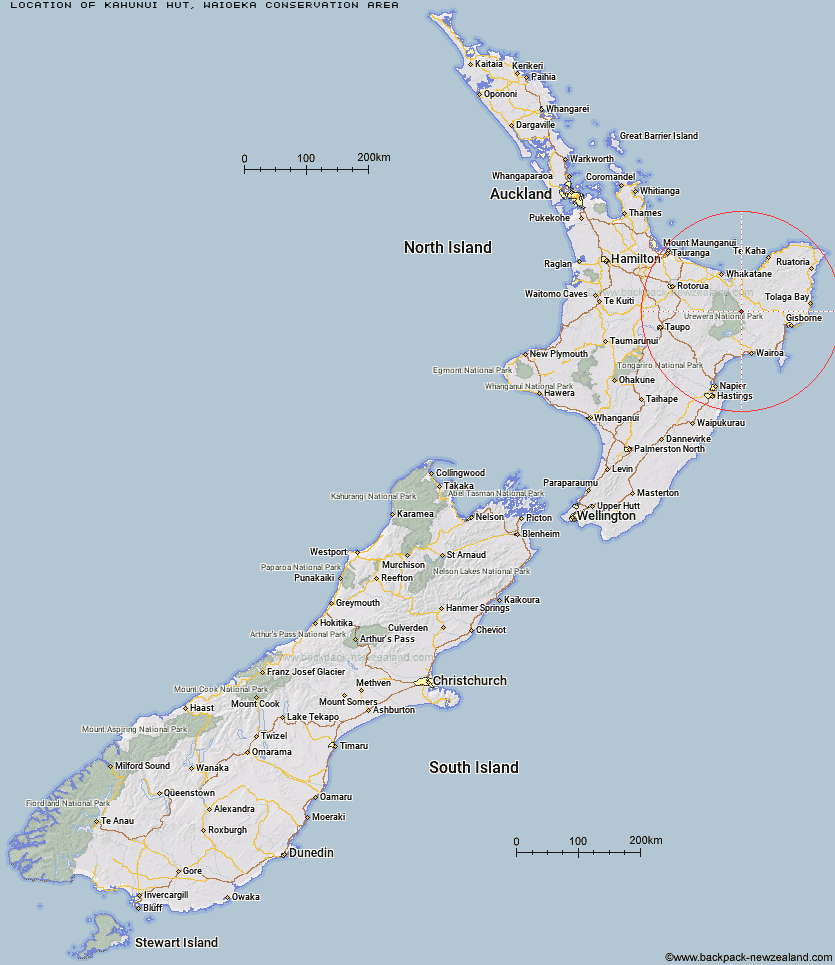
Location: Waioeka Conservation Area
Area: East Coast
Type of Hut: Standard
Map: BF40 Topo Map | Road Map
Does this hut still exist? Have any more information? Contact
Basic info: standard six-bunk hut in the Waioeka Conservation Area.
Latitude: -38.4797085314
Longitude: 177.276879674
Location: Waioeka Conservation Area
Area: East Coast
Type of Hut: Standard
Map: BF40 Topo Map | Road Map
Does this hut still exist? Have any more information? Contact

Image: DoC
Scroll down to see a topographical map and road map showing the location of Kahunui Hut
[ A ] [ B ] [ C ] [ D ] [ E ] [ F ] [ G ] [ H ] [ I ] [ J ] [ K ] [ L ] [ M ] [ N ] [ O ] [ P ] [ Q ] [ R ] [ S ] [ T ] [ U ] [ V ] [ W ] [ Y ] [ Z ]
Closest 20 Huts to Kahunui Hut
These are as the crow fliesMakakoere Hut 2.45km Tawa Hut 5.25km Tataweka Hut 5.62km Te Rangaakapua Hut 7.83km Koranga Forks Hut 9.21km Otane Hut 9.99km Mangatoatoa Hut 10.93km Te Pua Hut 12.41km Nikau Flat Hut 13.87km Makomako Hut 14.35km Otapukawa Hut 14.77km Te Panaa Hut 15.54km Te Pourewa Hut 16.05km Taurawharona Hut 16.7km Kotepato Hut 16.8km Koaunui Hut 17.44km Otanetea Hut 19.48km Waiawa Hut 22.11km Ohane Hut 23km Takurua Hut 23.5km Manuoha Hut 23.85km Tawhiwhi Hut 25.27km Onepu Hut 25.44km Sandy Bay Hut 25.75km Waikare Junction Hut 25.82km Kanohirua Hut 25.9km Ngahiramai Hut 26.08km Manganuku Hut 26.93km Hanamahihi Hut 28.23km Ohora Hut 29.12km Tokenui Hut 29.15km Savlon Hut 31.52km Manaohou Right Branch Hut 32.14km Brills Bivouac 32.37km Wahaatua Hut 33.16km Wharekahika Hut 33.2km Whakatakaa Hut 33.66km Pakihi Heads Hut 33.79km Whanganui Hut 33.79km Apiti Hut 35.02km