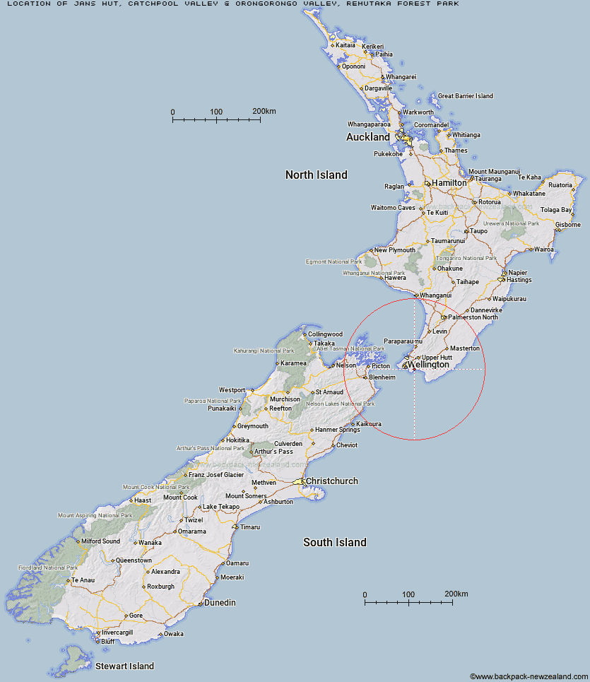
Topo Map showing location of Jans Hut
This information is sourced from DoC, LINZ and Openstreetmap. Some of the hut photos are mine and the rest are from DoC. I will be adding an upload feature soon so people can photos of .Jans Hut.
Basic info: serviced nine-bunk hut in the Wellington region. The hut is accessed via crossing the Orongorongo River, is locked and must be booked in advance to gain access.
Latitude: -41.3414754165
Longitude: 174.98222508
Location: Catchpool Valley & Orongorongo Valley, Remutaka Forest Park
Area: Wellington/Kapiti
Type of Hut: Serviced
Tracks: Orongorongo Track
Map: BQ32 Topo Map | Road Map
Does this hut still exist? Have any more information? Contact
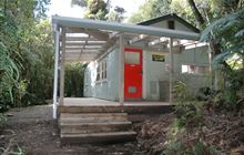
Image: DoC
Scroll down to see a topographical map and road map showing the location of Jans Hut
[ A ] [ B ] [ C ] [ D ] [ E ] [ F ] [ G ] [ H ] [ I ] [ J ] [ K ] [ L ] [ M ] [ N ] [ O ] [ P ] [ Q ] [ R ] [ S ] [ T ] [ U ] [ V ] [ W ] [ Y ] [ Z ]
Closest 20 Huts to Jans Hut
These are as the crow fliesWaerenga Hut 0.48km Boar Inn 1.17km Paua Hut 1.63km Haurangi Hut 1.91km Papatahi Hut 3.7km Wharepapa Hut 8km Barneys Whare 9.11km Waiorongomai Hut 14.04km Tauanui Hut 27.43km Washpool Hut 29.95km Sutherlands Hut 30.98km Pararaki Hut 32.25km Kawakawa Hut 33.41km Mangatoetoe Hut 35.04km Smith Creek Shelter 40.4km Eastern Hutt Hut 43.07km Renata Hut 44.45km Elder Hut 46.13km Tutuwai Hut 46.7km Alpha Hut 46.84km Waiotauru Hut 47.87km Kapakapanui Hut 49.39km Cone Hut 49.73km Waiohine Shelter 50.49km Kime Hut 50.52km Field Hut 53.4km Penn Creek Hut 55.15km Neill Forks Hut 55.19km Sayer Hut 55.85km Maungahuka Hut 56.09km Totara Flats Hut 57.52km Aokaparangi Hut 59.19km Mid Waiohine Hut 61.82km Mountain House Shelter 62.34km Powell Hut 62.84km Waitewaewae Hut 62.93km Anderson Memorial Hut 63.33km Atiwhakatu Hut 65.82km Jumbo Hut 66.36km McGregor Bivouac 67.02km