Topo Map showing location of James Mackay Hut
This information is sourced from DoC, LINZ and Openstreetmap. Some of the hut photos are mine and the rest are from DoC. I will be adding an upload feature soon so people can photos of .James Mackay Hut.
Basic info: 28-bunk hut located on the Heaphy Track in the Buller area.
Latitude: -40.886074139
Longitude: 172.216915388
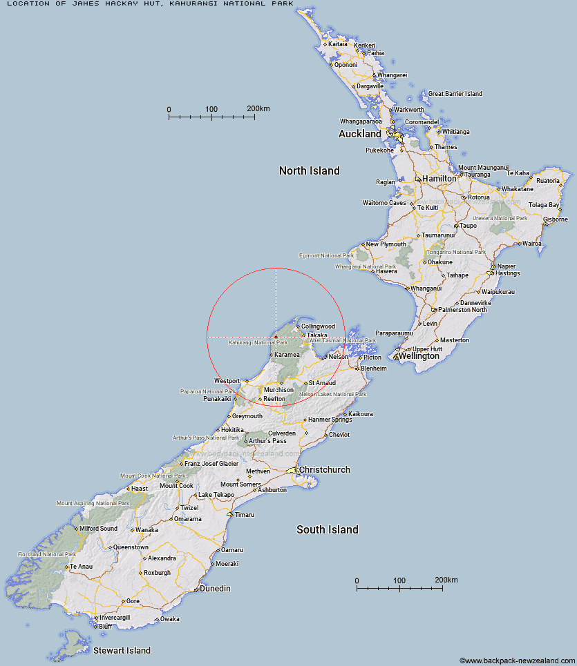
Location: Kahurangi National Park
Area: Nelson/Tasman
Type of Hut: Great Walk
Tracks: Heaphy Track
Map: BP22 Topo Map | Road Map
Does this hut still exist? Have any more information? Contact
Basic info: 28-bunk hut located on the Heaphy Track in the Buller area.
Latitude: -40.886074139
Longitude: 172.216915388
Location: Kahurangi National Park
Area: Nelson/Tasman
Type of Hut: Great Walk
Tracks: Heaphy Track
Map: BP22 Topo Map | Road Map
Does this hut still exist? Have any more information? Contact
Scroll down to see a topographical map and road map showing the location of James Mackay Hut
[ A ] [ B ] [ C ] [ D ] [ E ] [ F ] [ G ] [ H ] [ I ] [ J ] [ K ] [ L ] [ M ] [ N ] [ O ] [ P ] [ Q ] [ R ] [ S ] [ T ] [ U ] [ V ] [ W ] [ Y ] [ Z ]
Closest 20 Huts to James Mackay Hut
These are as the crow fliesMinistry of Works Historic Hut 5.22km Saxon Hut 7.67km Lewis Hut 8.34km Gouland Downs Hut 11.47km Heaphy Hut 14.31km Perry Saddle Hut 15.72km Brown Hut 19.77km Katipo Creek Shelter 19.87km Kohaihai Shelter 26.57km Adelaide Tarn Hut 28.15km Boulder Lake Hut 30.46km Lonely Lake Hut 30.6km Fenella Hut 31.63km Sunshine Flat Shelter 31.87km Cobb Hut 32.03km Anatoki Forks Hut 33.41km Tent Camp 33.47km Soper Shelter 34.6km Adams Flat Hut 34.63km Chaffey Hut 37.69km Roaring Lion Hut 39.15km Greys Hut 39.57km Waingaro Forks Hut 42.29km Trilobite Hut 42.67km Sylvester Hut 43.41km Myttons Hut 43.87km Karamea Bend Hut 45.79km Balloon Hut 46.34km Riordans Hut 47.58km Tin Hut Shelter 47.79km Asbestos Cottage 48.19km Splugeons Rock Shelter 48.36km Dry Rock Shelter 49.34km Growler Rock Shelter 49.51km Crow Hut 49.97km Kākāpō Hut 50.17km Upper Gridiron Hut and Rock Shelters 51.19km Venus Hut 51.41km Belltown Manunui Hut 51.59km Flanagans Hut 53.14km