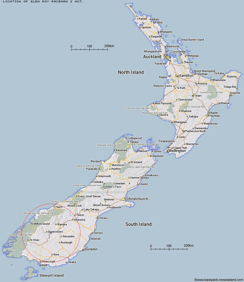
Topo Map showing location of Glen Roy Raceman's Hut
This information is sourced from DoC, LINZ and Openstreetmap. Some of the hut photos are mine and the rest are from DoC. I will be adding an upload feature soon so people can photos of .Glen Roy Raceman's Hut.
Latitude: -45.0864495667
Longitude: 168.876106147
Location:
Type of Hut:
Map: Topo Map | Road Map
Does this hut still exist? Have any more information? Contact
Latitude: -45.0864495667
Longitude: 168.876106147
Location:
Type of Hut:
Map: Topo Map | Road Map
Does this hut still exist? Have any more information? Contact
Scroll down to see a topographical map and road map showing the location of Glen Roy Raceman's Hut
[ A ] [ B ] [ C ] [ D ] [ E ] [ F ] [ G ] [ H ] [ I ] [ J ] [ K ] [ L ] [ M ] [ N ] [ O ] [ P ] [ Q ] [ R ] [ S ] [ T ] [ U ] [ V ] [ W ] [ Y ] [ Z ]
Closest 20 Huts to Glen Roy Raceman's Hut
These are as the crow fliesTwo Mile Hut 11.37km Old Woman Hut 20.38km Long Burn Hut 21.34km Eight Mile Hut 22.26km Meg Hut 23.66km Deep Creek Hut 24.01km Baileys Hut 24.28km Green Gate Huts 25.42km Butchers Hut 26.85km Sam Summers Hut 27.41km Siberia Hut 28.01km Whites Hut 28.3km Cairnmuir Musterer's Hut 28.73km Sainsburys Huts 30.6km Peats Hut 31.04km Roses Hut 31.37km Ross Hut 31.44km Mitchells Hut 31.94km Kirtle Burn Hut 32.78km Crystal Hut 32.83km Boundary Hut 34.31km Saint Marys Hut 34.32km Stoney Creek Hut 34.85km Highland Creek Hut 35.11km Robrosa Hut 35.44km Billy Hut 35.66km Dynamo Hut 35.89km Bullendale Hut 36.86km Archie's Hut - Copper Creek 37.36km Diggers Hut 37.75km McCrimmons Hut 37.76km Nicholsons Hut 38.31km Kelly's Hut 39.06km Fern Burn Hut 39.48km Wallers Hut 40.35km Ballarat Hut - Flood Burn 41.1km Heather Jock Hut 41.95km Bonnie Jean Hut 42.03km Garston Ski Hut 42.08km Jean Hut 42.59km