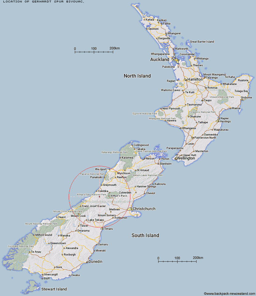
Topo Map showing location of Gerhardt Spur Bivouac
This information is sourced from DoC, LINZ and Openstreetmap. Some of the hut photos are mine and the rest are from DoC. I will be adding an upload feature soon so people can photos of .Gerhardt Spur Bivouac.
Latitude: -42.972997367
Longitude: 171.096282924
Location:
Type of Hut:
Map: Topo Map | Road Map
Does this hut still exist? Have any more information? Contact
Latitude: -42.972997367
Longitude: 171.096282924
Location:
Type of Hut:
Map: Topo Map | Road Map
Does this hut still exist? Have any more information? Contact
Scroll down to see a topographical map and road map showing the location of Gerhardt Spur Bivouac
[ A ] [ B ] [ C ] [ D ] [ E ] [ F ] [ G ] [ H ] [ I ] [ J ] [ K ] [ L ] [ M ] [ N ] [ O ] [ P ] [ Q ] [ R ] [ S ] [ T ] [ U ] [ V ] [ W ] [ Y ] [ Z ]
Closest 20 Huts to Gerhardt Spur Bivouac
These are as the crow fliesGerhardt Spur Bivouac 0km Mullins Hut 3.44km Cedar Flat Hut 4.05km Yeats Ridge Hut 4.46km Serpentine Hut 4.71km Crystal Bivouac 5.28km Adventure Bivouac 5.63km Top Toaroha Hut 6.49km Frisco Hut 6.63km Top Kokatahi Hut 7.62km Pinnacle Bivouac 7.74km Toaroha Saddle Bivouac 7.95km Rapid Creek Hut 8.15km Poet Hut 8.36km Bluff Hut 8.57km Frew Hut 9.53km Boo Boo Hut 9.69km Mungo Hut 10.12km Sir Robert Hut 10.66km Crawford Junction Hut 11.32km Frew Saddle Bivouac 11.56km Explorer Hut 13.57km Mt Brown Hut 14.32km Mikonui Spur Bivouac 14.41km Mid Styx Hut 14.86km Top Crawford Hut 15.43km Canyon Creek Bivouac 15.72km Browning Range Bivouac 16.37km Price Flat Hut 16.76km Price Flat Hut 16.87km Healey Creek Hut 17.33km Newton Range Bivouac 17.7km Unknown Stream Hut 17.73km Grassy Flat Hut 18.29km Mikonui Flat Hut 18.87km Urquhart's Hut 19.2km Harman Hut 19.28km Black Hut 19.82km Park Morpeth Hut 19.98km Price Basin Hut 20.61km