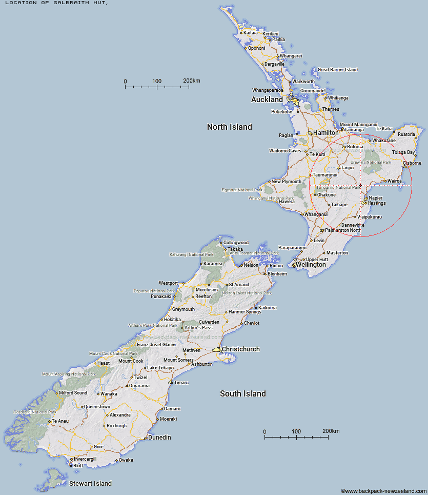
Topo Map showing location of Galbraith Hut
This information is sourced from DoC, LINZ and Openstreetmap. Some of the hut photos are mine and the rest are from DoC. I will be adding an upload feature soon so people can photos of .Galbraith Hut.
Latitude: -39.1496010871
Longitude: 176.716627497
Location:
Type of Hut:
Map: Topo Map | Road Map
Does this hut still exist? Have any more information? Contact
Latitude: -39.1496010871
Longitude: 176.716627497
Location:
Type of Hut:
Map: Topo Map | Road Map
Does this hut still exist? Have any more information? Contact
Scroll down to see a topographical map and road map showing the location of Galbraith Hut
[ A ] [ B ] [ C ] [ D ] [ E ] [ F ] [ G ] [ H ] [ I ] [ J ] [ K ] [ L ] [ M ] [ N ] [ O ] [ P ] [ Q ] [ R ] [ S ] [ T ] [ U ] [ V ] [ W ] [ Y ] [ Z ]
Closest 20 Huts to Galbraith Hut
These are as the crow fliesGalbraith Hut 0km Lower Ohane Hut 21.2km Upper Toropapa Hut 21.31km Lower Ripia Hut 21.82km Upper Ripia Hut 23.89km Lower Matakuhia Hut 26.03km Te Matai Hut 26.42km Middle Hill Hut 26.45km Ernie's Creek Hut 26.7km Makino Hut 27.01km Iron Whare 27.35km Tevers Hut 27.38km Kaweka Flats Bivouac 28.72km Halfway Hut 29km Black Birch Bivouac 29.35km Upper Matakuhia Hut 30.27km Makahu Saddle Hut 30.68km Dominie Hut 31.38km Ballard Hut 31.47km Central Te Hoe Hut 31.73km Mackintosh Hut 33.84km Back Ridge Hut 34.1km Mangaturutu Hut 34.22km Upper Te Hoe Hut 34.46km Studholme Saddle Hut 34.71km Studholme Saddle Bivouac 35km Venison Tops Hut (Tira Lodge) 35.72km Mangatainoka Hut 36.51km Back Ridge Bivouac 36.64km Red Hut 36.73km East Creek Hut 37.24km Upper Whirinaki Hut 37.67km Te Puke (Te Pukeohikarua) Hut 38.25km Omarukokere Bivouac 38.27km Mangakahika Hut 38.45km Poronui Hut 38.75km Rocks Ahead Hut 38.8km Lowry Shelter 38.89km Rocks Ahead Bivouac 38.92km Te Waiotukapiti Hut 39.61km