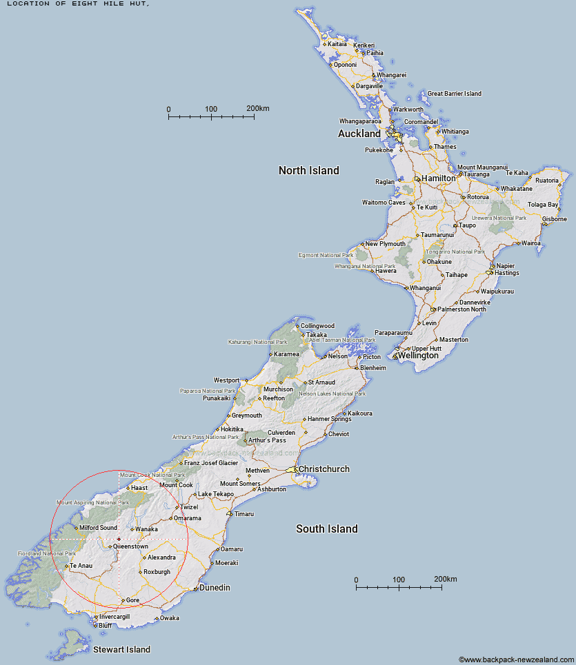
Topo Map showing location of Eight Mile Hut
This information is sourced from DoC, LINZ and Openstreetmap. Some of the hut photos are mine and the rest are from DoC. I will be adding an upload feature soon so people can photos of .Eight Mile Hut.
Latitude: -44.8878628135
Longitude: 168.840545374
Location:
Type of Hut:
Map: Topo Map | Road Map
Does this hut still exist? Have any more information? Contact
Latitude: -44.8878628135
Longitude: 168.840545374
Location:
Type of Hut:
Map: Topo Map | Road Map
Does this hut still exist? Have any more information? Contact
Scroll down to see a topographical map and road map showing the location of Eight Mile Hut
[ A ] [ B ] [ C ] [ D ] [ E ] [ F ] [ G ] [ H ] [ I ] [ J ] [ K ] [ L ] [ M ] [ N ] [ O ] [ P ] [ Q ] [ R ] [ S ] [ T ] [ U ] [ V ] [ W ] [ Y ] [ Z ]
Closest 20 Huts to Eight Mile Hut
These are as the crow fliesRoses Hut 9.44km Peats Hut 11.45km Green Gate Huts 11.8km Sainsburys Huts 13.63km Highland Creek Hut 14.95km Crystal Hut 15.04km Dynamo Hut 17.02km Bullendale Hut 17.26km Meg Hut 17.28km Butchers Hut 17.93km Archie's Hut - Copper Creek 19km Fern Burn Hut 19.99km Stoney Creek Hut 20.41km Ballarat Hut - Flood Burn 21.01km Cabin Hut 21.92km Glen Roy Raceman's Hut 22.26km Deep Creek Hut 23.36km Shiel Burn Hut 24.45km Kirtle Burn Hut 25.29km Polnoon Hut 26.06km Robrosa Hut 27.66km Kelly's Hut 28.11km Sixteen Mile Huts 28.25km Saddle Hut 28.3km Wallers Hut 28.38km Sam Summers Hut 30.12km Heather Jock Hut 30.56km McIntosh Hut 30.91km Bonnie Jean Hut 31km Jean Hut 31.32km McIntyre's Hut 31.72km Two Mile Hut 32.02km Black Peak Hut 32.24km Hundred Mile Hut 34.24km Long Burn Hut 36.12km Lochnagar Hut 36.87km Tummel Burn Hut 37.98km Old Woman Hut 39.93km Cairnmuir Musterer's Hut 40.02km Twenty Five Mile Hut 40.12km