Topo Map showing location of Duckville Hut
This information is sourced from DoC, LINZ and Openstreetmap. Some of the hut photos are mine and the rest are from DoC. I will be adding an upload feature soon so people can photos of .Duckville Hut.
Basic info: basic four-bunk hut in the Te Urewera area.
Latitude: -38.3626781691
Longitude: 176.878866317
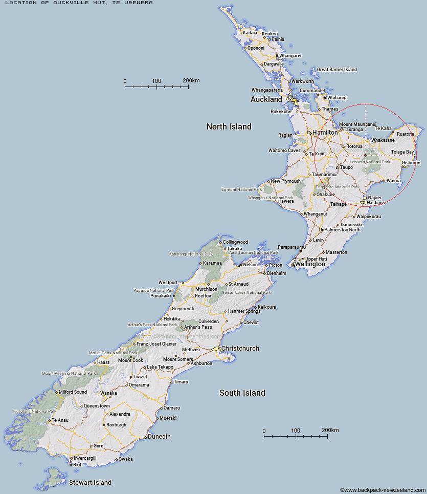
Location: Te Urewera
Area: East Coast
Type of Hut: Basic/bivvies
Map: BF39 Topo Map | Road Map
Does this hut still exist? Have any more information? Contact
Basic info: basic four-bunk hut in the Te Urewera area.
Latitude: -38.3626781691
Longitude: 176.878866317
Location: Te Urewera
Area: East Coast
Type of Hut: Basic/bivvies
Map: BF39 Topo Map | Road Map
Does this hut still exist? Have any more information? Contact
Scroll down to see a topographical map and road map showing the location of Duckville Hut
[ A ] [ B ] [ C ] [ D ] [ E ] [ F ] [ G ] [ H ] [ I ] [ J ] [ K ] [ L ] [ M ] [ N ] [ O ] [ P ] [ Q ] [ R ] [ S ] [ T ] [ U ] [ V ] [ W ] [ Y ] [ Z ]
Closest 20 Huts to Duckville Hut
These are as the crow fliesDuckville Hut 0km Mangamako Hut 5.52km Casino Hut 5.99km Manaohou Right Branch Hut 6.54km Horomanga Base Camp 6.96km Waihua Hut 9.52km Hanamahihi Hut 10.23km Saddle (Mangaawai) Hut 11.14km Waikare Junction Hut 11.26km Apiti Hut 11.78km Ohora Hut 13.28km Ohane Hut 14.09km Twain (Waipotiki) Hut 14.09km Ngahiramai Hut 16.79km Onepu Hut 16.83km Takurua Hut 17.2km Wharekahika Hut 18.55km Tawhiwhi Hut 19.22km Mangapouri Hut 19.74km Okui Hut 19.83km Otanetea Hut 20.82km Te Pourewa Hut 21.04km Te Panaa Hut 22.11km Otapukawa Hut 23.78km Taurawharona Hut 25.04km Te Pua Hut 25.19km Koaunui Hut 26.33km Waiawa Hut 26.86km Otane Hut 27.06km Makomako Hut 29.08km Kanohirua Hut 29.49km Mangatoatoa Hut 31.12km Tataweka Hut 31.44km Te Rangaakapua Hut 33.37km Tawa Hut 34.37km Makakoere Hut 34.69km Koranga Forks Hut 35.83km Nikau Flat Hut 35.89km Kahunui Hut 37.04km Whakatakaa Hut 38.19km