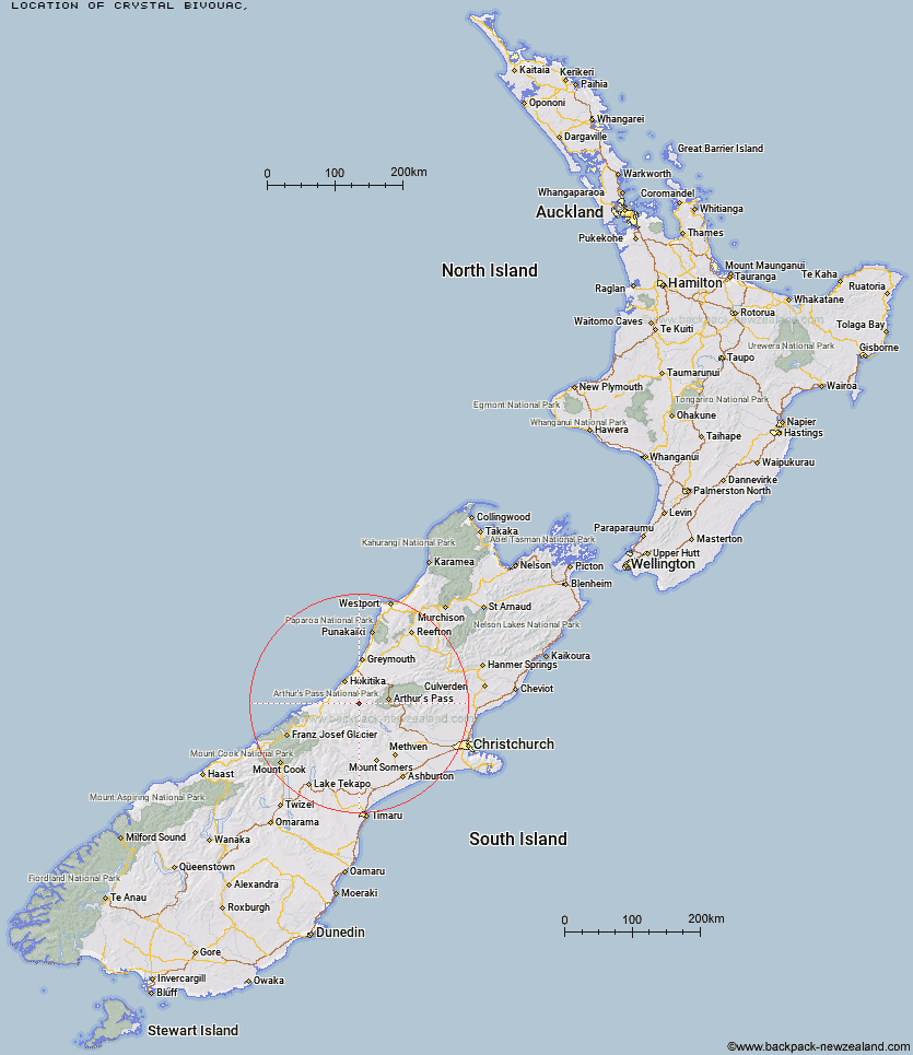
Topo Map showing location of Crystal Bivouac
This information is sourced from DoC, LINZ and Openstreetmap. Some of the hut photos are mine and the rest are from DoC. I will be adding an upload feature soon so people can photos of .Crystal Bivouac.
Latitude: -42.9964363247
Longitude: 171.152712115
Location:
Type of Hut:
Map: Topo Map | Road Map
Does this hut still exist? Have any more information? Contact
Latitude: -42.9964363247
Longitude: 171.152712115
Location:
Type of Hut:
Map: Topo Map | Road Map
Does this hut still exist? Have any more information? Contact
Scroll down to see a topographical map and road map showing the location of Crystal Bivouac
[ A ] [ B ] [ C ] [ D ] [ E ] [ F ] [ G ] [ H ] [ I ] [ J ] [ K ] [ L ] [ M ] [ N ] [ O ] [ P ] [ Q ] [ R ] [ S ] [ T ] [ U ] [ V ] [ W ] [ Y ] [ Z ]
Closest 20 Huts to Crystal Bivouac
These are as the crow fliesYeats Ridge Hut 1.38km Top Toaroha Hut 1.88km Mullins Hut 2.38km Adventure Bivouac 2.93km Toaroha Saddle Bivouac 3.22km Top Kokatahi Hut 3.3km Cedar Flat Hut 3.78km Poet Hut 4.4km Mungo Hut 4.9km Frisco Hut 5.19km Gerhardt Spur Bivouac 5.28km Bluff Hut 5.98km Serpentine Hut 6.26km Pinnacle Bivouac 6.84km Sir Robert Hut 6.92km Crawford Junction Hut 7.76km Boo Boo Hut 8.44km Frew Saddle Bivouac 10.23km Frew Hut 10.67km Rapid Creek Hut 11.64km Top Crawford Hut 12.31km Canyon Creek Bivouac 12.38km Unknown Stream Hut 12.5km Mid Styx Hut 13.51km Urquhart's Hut 14km Browning Range Bivouac 14.19km Mt Brown Hut 14.68km Park Morpeth Hut 15.63km Harman Hut 16.19km Grassy Flat Hut 16.21km Newton Range Bivouac 16.25km Weka Burnet Bivouac 16.33km Moa Stream Hut 17.17km Price Flat Hut 17.25km Price Flat Hut 17.3km Explorer Hut 17.75km Mikonui Spur Bivouac 17.94km Moa Hut 18.58km West Mathias Bivouac 19.6km Lower Arahura Hut 19.7km