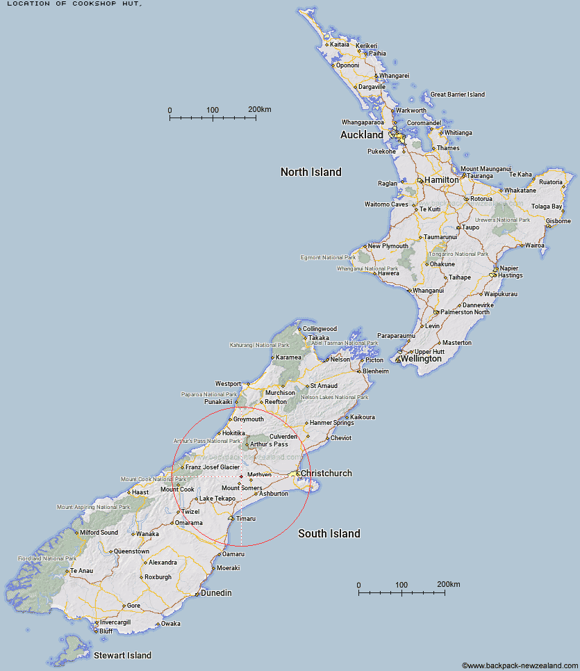
Topo Map showing location of Cookshop Hut
This information is sourced from DoC, LINZ and Openstreetmap. Some of the hut photos are mine and the rest are from DoC. I will be adding an upload feature soon so people can photos of .Cookshop Hut.
Latitude: -43.5719073176
Longitude: 171.436511266
Location:
Type of Hut:
Map: Topo Map | Road Map
Does this hut still exist? Have any more information? Contact
Latitude: -43.5719073176
Longitude: 171.436511266
Location:
Type of Hut:
Map: Topo Map | Road Map
Does this hut still exist? Have any more information? Contact
Scroll down to see a topographical map and road map showing the location of Cookshop Hut
[ A ] [ B ] [ C ] [ D ] [ E ] [ F ] [ G ] [ H ] [ I ] [ J ] [ K ] [ L ] [ M ] [ N ] [ O ] [ P ] [ Q ] [ R ] [ S ] [ T ] [ U ] [ V ] [ W ] [ Y ] [ Z ]
Closest 20 Huts to Cookshop Hut
These are as the crow fliesAlford Hut 2.94km Cutty Grass Hut 3.63km Pinnacles Hut 6.07km Three Creeks Hut 6.55km Lagoon Hut 7.63km Woolshed Creek Hut 9.49km Cookies Hut 9.63km Tribulation Hut 13.08km Manuka Hut 15.21km Double Hut 16.51km Comyns Hut 16.87km A Frame Hut 21.68km Boundary Creek Hut 29.8km Charlies Hut 29.81km Highland Home 34.12km Benmore Hut 34.29km Downs Hut 36.63km Top Mount Peel Huts 36.86km Top Hut 36.93km Potts Hut 38.61km Bottom Mount Peel Hut 39.97km Thompsons Hut 40.59km Cameron Hut 40.73km Taffy Hut 40.77km Jellicoe Hut 41.48km Banfield Hut 43.23km Ribbonwood Hut 43.44km Manuels Hut 44.54km Hermitage Hut 46.65km Washbourne Hut 47.05km Lawrence Hut 47.54km Evans Hut 47.74km Lawrence Bivouac 48.51km Mathias Hut 49.38km Erewhon Station Hut 49.39km Moraine Hut 49.67km Fanghill Hut 49.67km Black Mountain Hut 49.71km Reischek Hut 50.11km Centennial Cabin 50.2km