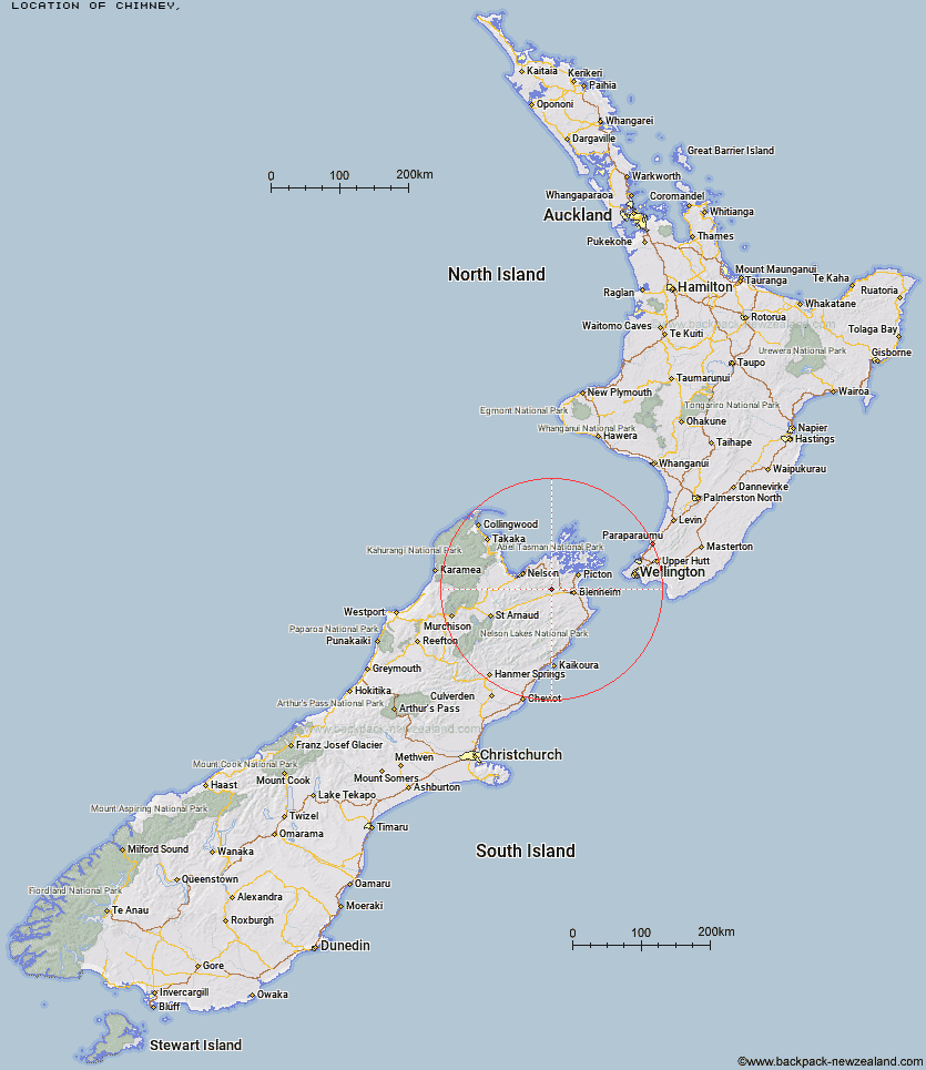
Topo Map showing location of Chimney
This information is sourced from DoC, LINZ and Openstreetmap. Some of the hut photos are mine and the rest are from DoC. I will be adding an upload feature soon so people can photos of .Chimney.
Latitude: -41.4708638898
Longitude: 173.660596633
Location:
Type of Hut:
Map: Topo Map | Road Map
Does this hut still exist? Have any more information? Contact
Latitude: -41.4708638898
Longitude: 173.660596633
Location:
Type of Hut:
Map: Topo Map | Road Map
Does this hut still exist? Have any more information? Contact
Scroll down to see a topographical map and road map showing the location of Chimney
[ A ] [ B ] [ C ] [ D ] [ E ] [ F ] [ G ] [ H ] [ I ] [ J ] [ K ] [ L ] [ M ] [ N ] [ O ] [ P ] [ Q ] [ R ] [ S ] [ T ] [ U ] [ V ] [ W ] [ Y ] [ Z ]
Closest 20 Huts to Chimney
These are as the crow fliesChimney 0km Fosters Hut 4.74km Mt Sunday Bivouac 7.03km Devils Creek Hut 9.25km Fishtail Hut 14.53km Mt Fell Hut 20.54km Captain Creek Hut 21.67km Ramshead Hut 22.13km Richmond Saddle Hut 23.1km McNaughts Hut 23.67km Middy Creek Hut 24.33km Beehive Hut 24.69km Tinpot Hut 25.97km Roebuck Hut 26.11km Dillon Hut 26.93km Omaka Bivouac 27.82km Dun Shelter 27.84km Rocks Hut 27.95km Lake Chalice Hut 30.32km Black Birch Bivouac 30.52km Lake Alexander Hut 30.97km Slaty Hut 31.88km Third House Shelter 32.36km Browning Hut 32.62km Old Man Hut 32.99km Starveall Hut 34.94km Hacket Hut 35.11km Penk Hut 35.2km Mt Rintoul Hut 37.04km Mid Goulter Hut 37.43km Turkeys Nest Bivouac 41.67km Tarn Hut 41.98km Gosling Hut 42.38km Hidden Hut 42.59km Lower Goulter Hut 43.3km Top Whare 45.75km Mid Wairoa Hut 46.24km Flynns 48.56km Cam Hut 48.75km Boulder Forks Hut 48.98km