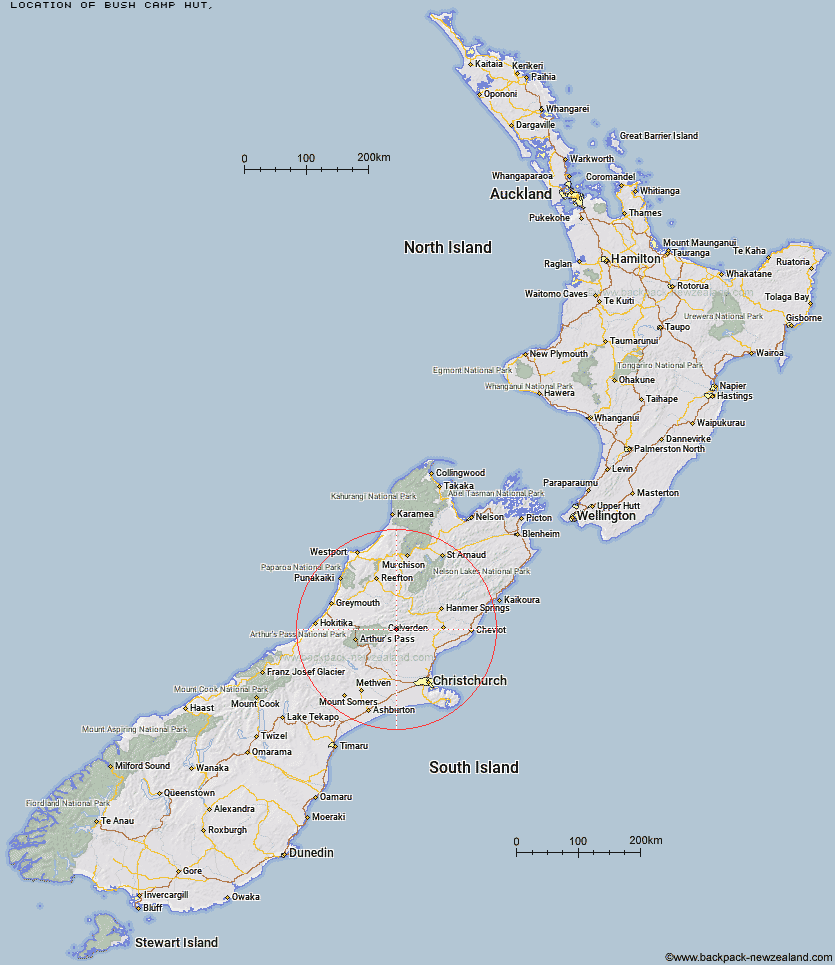
Topo Map showing location of Bush Camp Hut
This information is sourced from DoC, LINZ and Openstreetmap. Some of the hut photos are mine and the rest are from DoC. I will be adding an upload feature soon so people can photos of .Bush Camp Hut.
Latitude: -42.8088767859
Longitude: 172.158988195
Location:
Type of Hut:
Map: Topo Map | Road Map
Does this hut still exist? Have any more information? Contact
Latitude: -42.8088767859
Longitude: 172.158988195
Location:
Type of Hut:
Map: Topo Map | Road Map
Does this hut still exist? Have any more information? Contact
Scroll down to see a topographical map and road map showing the location of Bush Camp Hut
[ A ] [ B ] [ C ] [ D ] [ E ] [ F ] [ G ] [ H ] [ I ] [ J ] [ K ] [ L ] [ M ] [ N ] [ O ] [ P ] [ Q ] [ R ] [ S ] [ T ] [ U ] [ V ] [ W ] [ Y ] [ Z ]
Closest 20 Huts to Bush Camp Hut
These are as the crow fliesDeep Creek Hut 4.29km Stony Stream Hut 7.03km North Esk Hut 7.35km Lake Mason Hut 7.8km Ant Stream Bivouac 8.28km South Branch Research Hut 9.54km Anderson's Hut 10.3km Esk Bivouac 10.93km Candlesticks Bivouac 11.26km Lake Sumner Hut 11.3km Ant Stream Hut 11.33km Hurunui Hut 12.77km Gabriel Hut 14.46km Anna Hut 14.85km Upper South Branch Hurunui Hut 14.89km Cattle Creek Hut 14.91km Seldom Inn Hut 15.69km Three Mile Stream Hut 16.89km Evangeline Bivouac 17.13km Jollie Brook Hut 17.36km Bull Creek Hut 18.15km Hurunui No 3 Hut 18.42km Lochinvar Hut 18.64km Mackenzie Bivouac 19.41km Cold Stream Hut 19.59km Camerons Hut 20.1km Mackenzie Hut 21.22km Museum Hut 21.35km Ranger Bivouac 22.03km Glenrae Hut 22.97km Harper Pass Bivouac 23.36km Saint Jacob's Hut 23.54km Youngman Stream Hut 24.15km Hope Halfway Hut 24.29km Top Hope Hut 24.4km Mid Trent Hut 25.35km Tarn Hut 25.58km Turnbull Bivouac 26.16km Trust/Poulter Hut 26.28km Glenrae Bivouac 26.41km