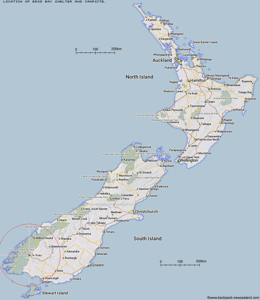
Topo Map showing location of Brod Bay Shelter and Campsite
This information is sourced from DoC, LINZ and Openstreetmap. Some of the hut photos are mine and the rest are from DoC. I will be adding an upload feature soon so people can photos of .Brod Bay Shelter and Campsite.
Latitude: -45.4047079254
Longitude: 167.674515214
Location:
Type of Hut:
Map: Topo Map | Road Map
Does this hut still exist? Have any more information? Contact
Latitude: -45.4047079254
Longitude: 167.674515214
Location:
Type of Hut:
Map: Topo Map | Road Map
Does this hut still exist? Have any more information? Contact
Scroll down to see a topographical map and road map showing the location of Brod Bay Shelter and Campsite
[ A ] [ B ] [ C ] [ D ] [ E ] [ F ] [ G ] [ H ] [ I ] [ J ] [ K ] [ L ] [ M ] [ N ] [ O ] [ P ] [ Q ] [ R ] [ S ] [ T ] [ U ] [ V ] [ W ] [ Y ] [ Z ]
Closest 20 Huts to Brod Bay Shelter and Campsite
These are as the crow fliesBrod Bay Shelter and Campsite 0km Luxmore Hut 4.83km Forest Burn Shelter 8.19km Moturau Hut 9.91km Shallow Bay Hut 10.98km Hanging Valley Shelter 11.07km Iris Burn Hut 12.9km Back Valley Hut 22.94km Hope Arm Hut 23.06km Freeman Burn Hut 23.24km Cheviot Downs Hut 26.72km Lower Princhester Hut 30.12km Upper Princhester Hut 30.55km Junction Burn Hut 31.41km Whare Creek Hut 31.58km Army Hut 32.11km Kiwi Burn Hut 32.98km Percy Shelter 34.19km Robin Saddle Hut 34.27km North Borland Hut 34.54km West Arm Hut 34.78km Aparima Forks Hut 35.7km Oreti Hut 36.31km Spence Hut 37.04km Redcliff Hut 37.1km Becketts Hut 37.82km Upper Wairaki Hut 40.35km Lake Hankinson Hut 40.78km Telford Hut 40.89km Lincoln Hut 41.02km Aparima Huts 42.08km Lower Windley Hut 42.23km Upper Oreti Hut 42.56km West Burn Hut 43.52km Lake Thomson Hut 43.54km Borland Bivouac 44.11km Upper Spey Hut 44.38km Upper Windley Hut 44.75km Glaisnock Hut 45.24km Careys Hut 45.26km