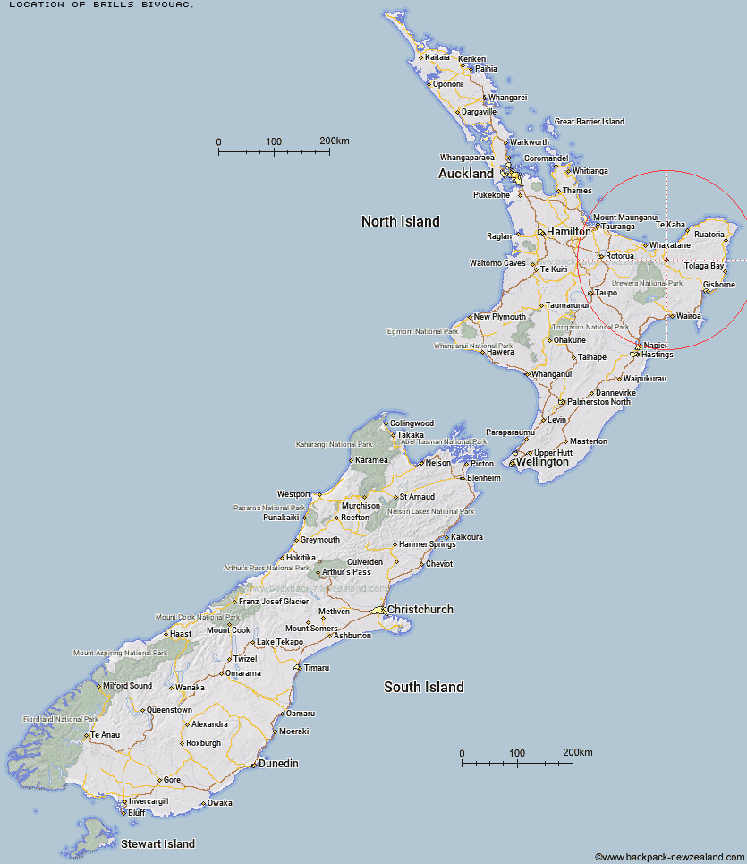
Topo Map showing location of Brills Bivouac
This information is sourced from DoC, LINZ and Openstreetmap. Some of the hut photos are mine and the rest are from DoC. I will be adding an upload feature soon so people can photos of .Brills Bivouac.
Latitude: -38.1918373222
Longitude: 177.332133398
Location:
Type of Hut:
Map: Topo Map | Road Map
Does this hut still exist? Have any more information? Contact
Latitude: -38.1918373222
Longitude: 177.332133398
Location:
Type of Hut:
Map: Topo Map | Road Map
Does this hut still exist? Have any more information? Contact
Scroll down to see a topographical map and road map showing the location of Brills Bivouac
[ A ] [ B ] [ C ] [ D ] [ E ] [ F ] [ G ] [ H ] [ I ] [ J ] [ K ] [ L ] [ M ] [ N ] [ O ] [ P ] [ Q ] [ R ] [ S ] [ T ] [ U ] [ V ] [ W ] [ Y ] [ Z ]
Closest 20 Huts to Brills Bivouac
These are as the crow fliesBrills Bivouac 0km Savlon Hut 3.35km Lagoon Hut 4.22km Tokenui Hut 6.48km Te Waiti Hut 6.75km Hastings Hut 6.83km Wahaatua Hut 10.35km Pakihi Hut 12.08km Manganuku Hut 12.67km Pakihi Heads Hut 14.59km Kotepato Hut 15.8km Nikau Flat Hut 18.55km Koaunui Hut 21.4km Koranga Forks Hut 23.17km Wharekahika Hut 26.75km Otapukawa Hut 27.44km Onepu Hut 27.48km Tawa Hut 27.58km Ohora Hut 30.62km Tataweka Hut 31.18km Otane Hut 31.3km Te Pourewa Hut 32.07km Kahunui Hut 32.37km Makakoere Hut 32.66km Apiti Hut 33.57km Twain (Waipotiki) Hut 33.97km Ohane Hut 34.81km Te Pua Hut 35.15km Saddle (Mangaawai) Hut 35.48km Te Panaa Hut 36.02km Mangakirikiri Hut 36.21km Waikare Junction Hut 36.28km Te Rangaakapua Hut 38.29km Casino Hut 39.39km Waihua Hut 39.91km Mangatoatoa Hut 40.03km Mangaotane Hut (McMillans) 40.04km Otanetea Hut 41.16km Taurawharona Hut 41.68km Hanamahihi Hut 41.96km