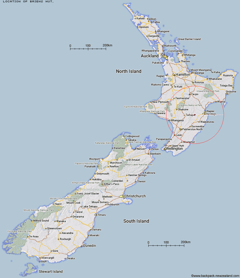
Topo Map showing location of Briens Hut
This information is sourced from DoC, LINZ and Openstreetmap. Some of the hut photos are mine and the rest are from DoC. I will be adding an upload feature soon so people can photos of .Briens Hut.
Latitude: -39.6661876674
Longitude: 176.340840843
Location:
Type of Hut:
Map: Topo Map | Road Map
Does this hut still exist? Have any more information? Contact
Latitude: -39.6661876674
Longitude: 176.340840843
Location:
Type of Hut:
Map: Topo Map | Road Map
Does this hut still exist? Have any more information? Contact
Scroll down to see a topographical map and road map showing the location of Briens Hut
[ A ] [ B ] [ C ] [ D ] [ E ] [ F ] [ G ] [ H ] [ I ] [ J ] [ K ] [ L ] [ M ] [ N ] [ O ] [ P ] [ Q ] [ R ] [ S ] [ T ] [ U ] [ V ] [ W ] [ Y ] [ Z ]
Closest 20 Huts to Briens Hut
These are as the crow fliesTin Hut 3.25km Masters Shelter 4.49km Sentry Box Hut 5.12km Poutaki Hut 7.21km Ellis Hut 7.34km Parks Peak Hut 7.83km Aranga Hut 8.27km Herricks Hut 8.62km Upper Makaroro Hut 9.75km Mistake Bivouac 10.06km Dead Dog Hut 10.47km Rockslide Hut 11.38km No Mans Hut 11.6km Kylie Bivouac 12.19km Ruahine Hut 12.22km Barlow Hut 12.25km Norris Hut 14.37km Dianes Hut 14.63km Ikawetea Forks Hut 14.91km Ruahine Corner Hut 14.98km Taruarau Bivouac 15.19km Sparrowhawk Bivouac 15.96km Gold Creek Hut 16.25km Colenso Hut 17.14km Makirikiri Hut 17.3km Shutes Hut 17.66km Triplex Hut 18.68km Maropea Forks Hut 18.7km Top Maropea Hut 19.73km Sunrise Hut 20.01km Waipawa Forks Hut 20.44km Wakelings Hut 20.56km Iron Bark Hut 21.32km Otukota Hut 22.19km Comet Hut 22.42km Waikamaka Hut 23.98km Cedars Hut (Blowfly) 24.32km Crow Hut 24.57km McKinnon Hut 24.65km Smiths Stream Hut 25.02km