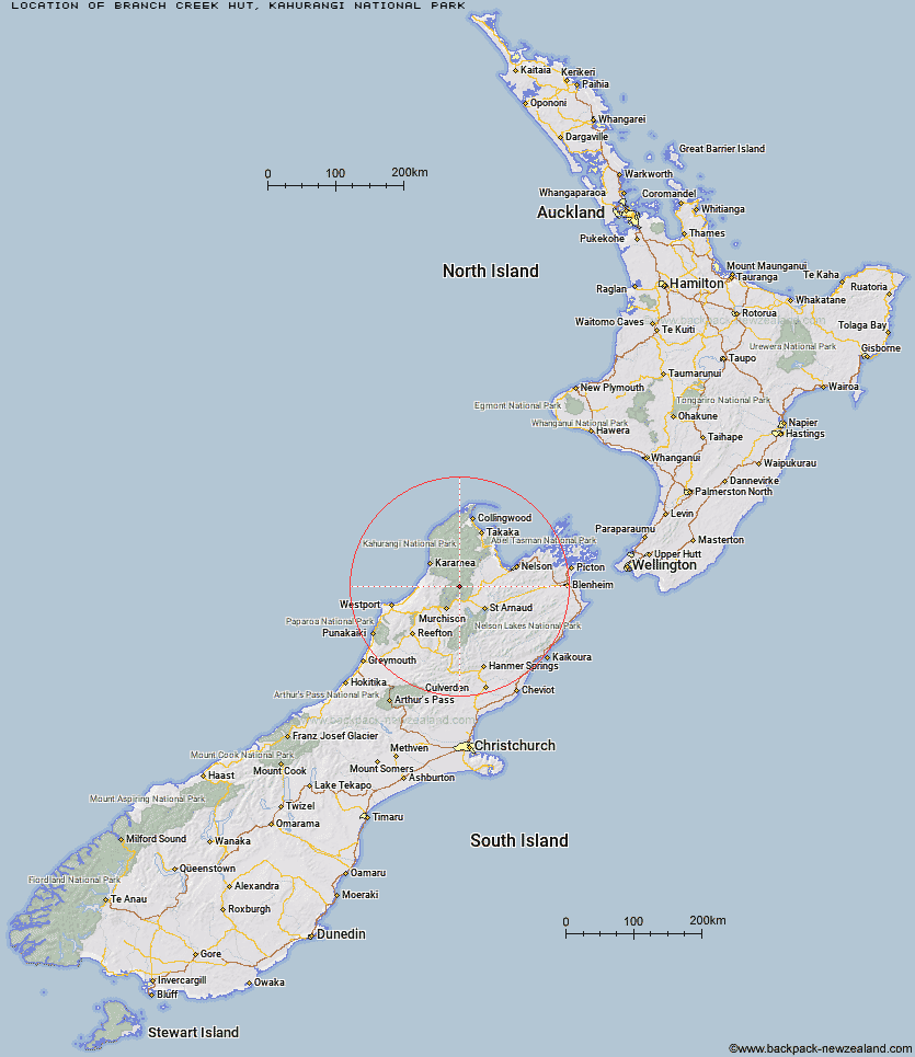
Topo Map showing location of Branch Creek Hut
This information is sourced from DoC, LINZ and Openstreetmap. Some of the hut photos are mine and the rest are from DoC. I will be adding an upload feature soon so people can photos of .Branch Creek Hut.
Basic info: standard 6-bunk hut in the Nelson Lakes area.
Latitude: -41.5238601305
Longitude: 172.510872269
Location: Kahurangi National Park
Area: Nelson/Tasman
Type of Hut: Standard
Map: BR23 Topo Map | Road Map
Does this hut still exist? Have any more information? Contact
Basic info: standard 6-bunk hut in the Nelson Lakes area.
Latitude: -41.5238601305
Longitude: 172.510872269
Location: Kahurangi National Park
Area: Nelson/Tasman
Type of Hut: Standard
Map: BR23 Topo Map | Road Map
Does this hut still exist? Have any more information? Contact

Image: DoC
Scroll down to see a topographical map and road map showing the location of Branch Creek Hut
[ A ] [ B ] [ C ] [ D ] [ E ] [ F ] [ G ] [ H ] [ I ] [ J ] [ K ] [ L ] [ M ] [ N ] [ O ] [ P ] [ Q ] [ R ] [ S ] [ T ] [ U ] [ V ] [ W ] [ Y ] [ Z ]
Closest 20 Huts to Branch Creek Hut
These are as the crow fliesGranity Pass Hut 4.19km Cecil Kings Hut 6.85km Kings Creek Hut 6.95km Hurricane Hut 10.85km Stone Hut 12.93km Kiwi Saddle Hut 13.06km John Reid Hut 13.91km McConchies Hut 14.1km Larrikin Creek Hut 16.7km Trevor Carter Hut 17.22km Helicopter Flat Hut 17.31km Poor Pete's Hut 18.63km Thor Hut 19.96km Johnson Hut 20.53km Lake Matiri Hut 21.02km Taipo Hut 21.59km Stag Flat Shelter 22.86km Venus Hut 23.77km Wangapeka Bivouac 25.24km Crow Hut 25.86km Kākāpō Hut 27.41km Goat Creek Hut 27.53km Mokihinui Forks Hut 27.79km Flanagans Hut 28.82km Belltown Manunui Hut 29.93km Specimen Point Hut 29.94km Stern Valley Hut 30.24km Karamea Bend Hut 32.33km Ellis Hut 35km Ghost Lake Hut 35.21km Splugeons Rock Shelter 36.35km Roaring Lion Hut 36.81km Greys Hut 37.25km Mt Arthur Hut 40.09km Dry Rock Shelter 40.46km Balloon Hut 40.53km Lyell Saddle Hut 40.81km Beebys Hut 41.14km Speargrass Hut 41.64km Hunters Hut 41.8km