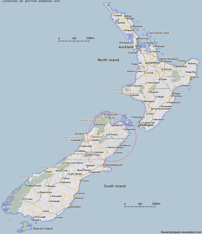
Topo Map showing location of Bottom Gordons Hut
This information is sourced from DoC, LINZ and Openstreetmap. Some of the hut photos are mine and the rest are from DoC. I will be adding an upload feature soon so people can photos of .Bottom Gordons Hut.
Latitude: -41.9270265641
Longitude: 173.13932471
Location:
Type of Hut:
Map: Topo Map | Road Map
Does this hut still exist? Have any more information? Contact
Latitude: -41.9270265641
Longitude: 173.13932471
Location:
Type of Hut:
Map: Topo Map | Road Map
Does this hut still exist? Have any more information? Contact
Scroll down to see a topographical map and road map showing the location of Bottom Gordons Hut
[ A ] [ B ] [ C ] [ D ] [ E ] [ F ] [ G ] [ H ] [ I ] [ J ] [ K ] [ L ] [ M ] [ N ] [ O ] [ P ] [ Q ] [ R ] [ S ] [ T ] [ U ] [ V ] [ W ] [ Y ] [ Z ]
Closest 20 Huts to Bottom Gordons Hut
These are as the crow fliesTop Gordon Hut 4.66km Top Leatham Hut 6.98km Barbers Hut 7.48km Siberia Hut 7.52km Bottom Misery Hut 7.63km Branch Bivouac 9.39km Greigs Hut 10.44km Team Hut 10.71km Lost Stream Bivouac 11.7km Top Misery Hut 12.92km Junction Hut 13.06km Mid Silverstream Hut 13.63km Lees Creek Hut 13.73km Munroe Hut 13.79km Burnt Yards Hut 13.92km Caves Hut 14.05km Saxton Hut 14.32km Bull Paddock Creek Hut 15.84km Carters Yards Hut 16.28km Silverstream Bivouac 16.85km Blue Mountain Hut 16.88km Severn Hut 17.22km Boulder Forks Hut 17.97km Acheron Hut 21.4km Connors Creek Hut 22.75km Red Gate Hut 23.94km Gosling Hut 24.35km Hidden Hut 24.53km Red Hills Hut 24.98km Turkeys Nest Bivouac 25.08km Top Whare 25.66km Lakehead Hut 26.87km Coldwater Hut 27.4km Bushline Hut 28.03km Beebys Hut 28.83km Relax Shelter 29.19km Bushedge Shelter 29.2km Sedgemere Sleepout 30.47km Begley Hut 30.54km John Tait Hut 31.11km