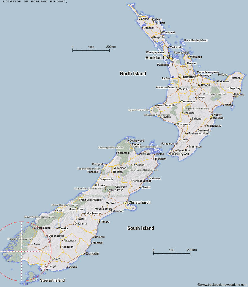
Topo Map showing location of Borland Bivouac
This information is sourced from DoC, LINZ and Openstreetmap. Some of the hut photos are mine and the rest are from DoC. I will be adding an upload feature soon so people can photos of .Borland Bivouac.
Latitude: -45.7399179434
Longitude: 167.371384153
Location:
Type of Hut:
Map: Topo Map | Road Map
Does this hut still exist? Have any more information? Contact
Latitude: -45.7399179434
Longitude: 167.371384153
Location:
Type of Hut:
Map: Topo Map | Road Map
Does this hut still exist? Have any more information? Contact
Scroll down to see a topographical map and road map showing the location of Borland Bivouac
[ A ] [ B ] [ C ] [ D ] [ E ] [ F ] [ G ] [ H ] [ I ] [ J ] [ K ] [ L ] [ M ] [ N ] [ O ] [ P ] [ Q ] [ R ] [ S ] [ T ] [ U ] [ V ] [ W ] [ Y ] [ Z ]
Closest 20 Huts to Borland Bivouac
These are as the crow fliesGreen Lake Hut 5.54km Historic Clark Hut 6.43km Clark Hut - A Frame 6.6km Monowai Hut 10.63km North Borland Hut 10.74km Rodger Inlet Huts 14.21km Eel Creek Hut 15.84km Percy Shelter 17.17km Halfway Hut 17.86km Lake Roe Hut 18.14km Hauroko Burn Hut 20.21km Hope Arm Hut 21.28km Back Valley Hut 22.52km Caroline Hut 23.41km Upper Spey Hut 24.01km Kintail Hut 24.25km Loch Maree Hut 24.51km West Arm Hut 25.28km Shallow Bay Hut 33.21km Freeman Burn Hut 33.31km Supper Cove Hut 33.4km Moturau Hut 34.21km Cheviot Downs Hut 34.34km Redcliff Hut 35.43km Whare Creek Hut 36.21km Teal Bay Hut 36.8km Telford Hut 36.85km Iris Burn Hut 39.4km Spence Hut 39.58km Barcoo Hut 39.95km Upper Wairaki Hut 40.2km Rock Hut 41.41km Hanging Valley Shelter 41.73km Forest Burn Shelter 41.97km Luxmore Hut 43.9km Aparima Forks Hut 44.04km Brod Bay Shelter and Campsite 44.11km Upper Princhester Hut 44.13km Lower Wairaki Hut 44.38km Lake Poteriteri Hut 44.56km