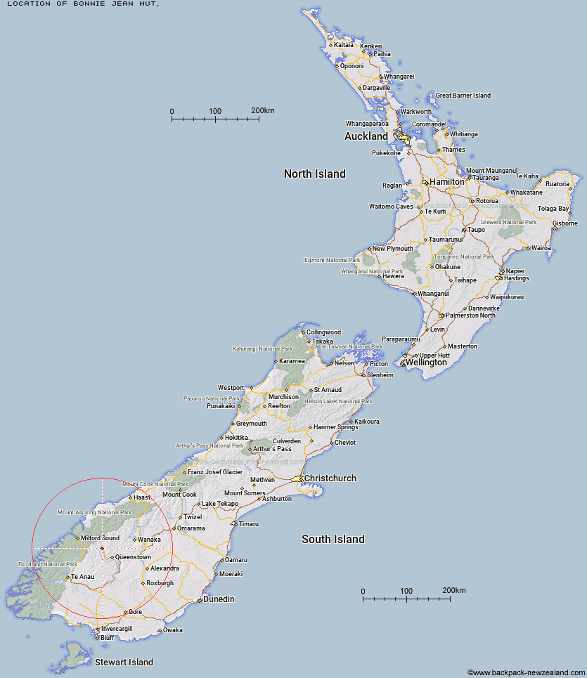
Topo Map showing location of Bonnie Jean Hut
This information is sourced from DoC, LINZ and Openstreetmap. Some of the hut photos are mine and the rest are from DoC. I will be adding an upload feature soon so people can photos of .Bonnie Jean Hut.
Latitude: -44.8591739216
Longitude: 168.449242412
Location:
Type of Hut:
Map: Topo Map | Road Map
Does this hut still exist? Have any more information? Contact
Latitude: -44.8591739216
Longitude: 168.449242412
Location:
Type of Hut:
Map: Topo Map | Road Map
Does this hut still exist? Have any more information? Contact
Scroll down to see a topographical map and road map showing the location of Bonnie Jean Hut
[ A ] [ B ] [ C ] [ D ] [ E ] [ F ] [ G ] [ H ] [ I ] [ J ] [ K ] [ L ] [ M ] [ N ] [ O ] [ P ] [ Q ] [ R ] [ S ] [ T ] [ U ] [ V ] [ W ] [ Y ] [ Z ]
Closest 20 Huts to Bonnie Jean Hut
These are as the crow fliesJean Hut 0.64km Heather Jock Hut 0.74km McIntyre's Hut 2.43km Wallers Hut 2.83km Kelly's Hut 3.06km McIntosh Hut 3.11km Stoney Creek Hut 10.96km Mid Caples Hut 14.35km Home Hill Hut 14.82km Butchers Hut 15.4km Archie's Hut - Copper Creek 16.4km Kay Creek Hut 17.33km Crystal Hut 17.5km Slip Flat Hut 17.52km Sainsburys Huts 17.89km Upper Caples Hut 17.98km Dynamo Hut 18.01km Bullendale Hut 19.4km Green Gate Huts 19.59km Greenstone Hut 19.86km Steele Creek Hut 20.04km Ballarat Hut - Flood Burn 20.33km Routeburn Shelter 20.62km Peats Hut 21.63km Steele Creek Lodge 21.79km Sam Summers Hut 21.93km Rats Nest Hut 22.83km Routeburn Flats Hut 23.69km Lake Mackenzie Lodge 23.97km Lake Mackenzie Hut 24.01km McKellar Hut 24.02km McKellar Lodge 24.07km Twenty Five Mile Hut 24.36km Routeburn Falls Hut 24.66km Routeburn Falls Lodge 24.67km Lake Howden Hut 25.22km Sixteen Mile Huts 26.13km Earnslaw Hut 26.4km The Divide Shelter 26.43km Esquilant Bivvy Hut 27.31km