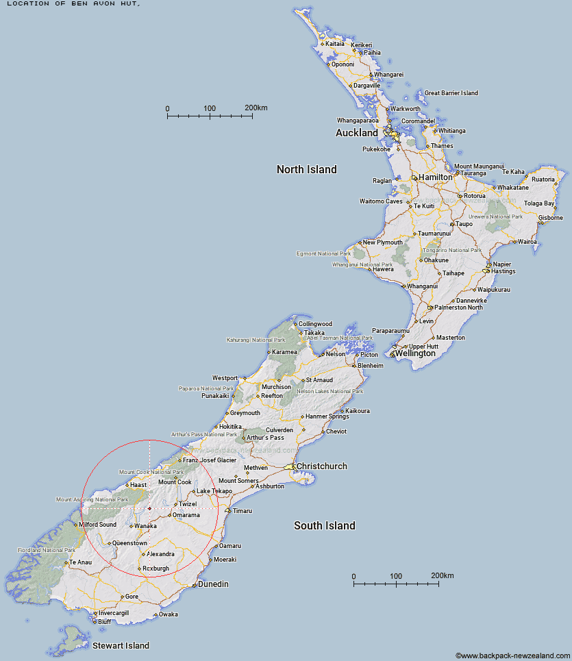
Topo Map showing location of Ben Avon Hut
This information is sourced from DoC, LINZ and Openstreetmap. Some of the hut photos are mine and the rest are from DoC. I will be adding an upload feature soon so people can photos of .Ben Avon Hut.
Latitude: -44.3373530021
Longitude: 169.533465752
Location:
Type of Hut:
Map: Topo Map | Road Map
Does this hut still exist? Have any more information? Contact
Latitude: -44.3373530021
Longitude: 169.533465752
Location:
Type of Hut:
Map: Topo Map | Road Map
Does this hut still exist? Have any more information? Contact
Scroll down to see a topographical map and road map showing the location of Ben Avon Hut
[ A ] [ B ] [ C ] [ D ] [ E ] [ F ] [ G ] [ H ] [ I ] [ J ] [ K ] [ L ] [ M ] [ N ] [ O ] [ P ] [ Q ] [ R ] [ S ] [ T ] [ U ] [ V ] [ W ] [ Y ] [ Z ]
Closest 20 Huts to Ben Avon Hut
These are as the crow fliesCotters Hut 3.03km Top Dingle Hut 6.57km Ahuriri Base Hut 8.96km High Burn Hut 9.57km Bush Hut 9.77km Green Bush Hut 10.19km Little Boundary Hut 11.47km Hideaway Hut 11.78km Boundary Hut 11.99km Mae West Bivouac 13.98km Snowy Gorge Hut 14.4km Top Timaru Hut 15.02km Shamrock Hut 16.14km Big Hopwood Burn Hut 17.09km Scrubby Hut 17.7km Burnt Bush Hut 17.9km Bull Flat Hut 19.95km Moonlight & Roses Hut 20.37km Maitland Hut 21.41km Hagens Hut 21.92km Cameron Hut 23.16km Sawyer Burn Hut 23.64km Ferguson Hut 24.27km Stodys Hut 24.27km Makarora Hut 24.29km Junction Hut 24.9km Top Hut 26.13km South Temple Hut 28.57km Brewster Hut 29.38km Craigie Burn Hut 29.53km Pakituhi Hut 30.62km Forbes Hut 32.8km Wills Hut 33.71km South Huxley Bivouac 36.35km Wanaka Faces Hut 37.8km Albert Burn Hut 39.64km Young Hut 39.69km Polson's Hut 39.97km Main Huxley Forks Hut 40.33km Siberia Hut 40.36km