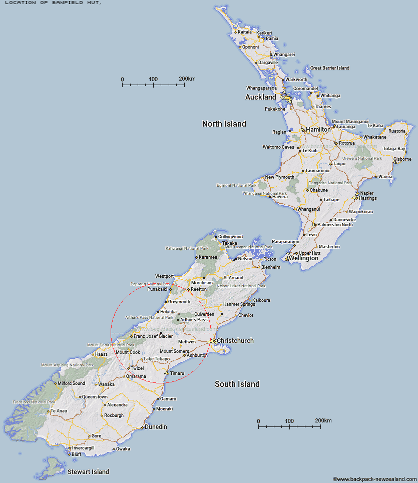
Topo Map showing location of Banfield Hut
This information is sourced from DoC, LINZ and Openstreetmap. Some of the hut photos are mine and the rest are from DoC. I will be adding an upload feature soon so people can photos of .Banfield Hut.
Latitude: -43.2984512287
Longitude: 171.055982798
Location:
Type of Hut:
Map: Topo Map | Road Map
Does this hut still exist? Have any more information? Contact
Latitude: -43.2984512287
Longitude: 171.055982798
Location:
Type of Hut:
Map: Topo Map | Road Map
Does this hut still exist? Have any more information? Contact
Scroll down to see a topographical map and road map showing the location of Banfield Hut
[ A ] [ B ] [ C ] [ D ] [ E ] [ F ] [ G ] [ H ] [ I ] [ J ] [ K ] [ L ] [ M ] [ N ] [ O ] [ P ] [ Q ] [ R ] [ S ] [ T ] [ U ] [ V ] [ W ] [ Y ] [ Z ]
Closest 20 Huts to Banfield Hut
These are as the crow fliesBanfield Hut 0km Thompsons Hut 2.81km Washbourne Hut 3.83km Evans Hut 4.77km Jellicoe Hut 5.15km Downs Hut 6.72km Reischek Hut 7.72km Lauper Bivouac 8.07km Cameron Hut 8.23km Lyell Hut 11.84km Lawrence Bivouac 12.4km Highland Home 13.05km Charlies Hut 13.43km Top Hut 13.78km Mathias Hut 13.8km Centennial Cabin 14.15km Neave Hut 14.4km Moraine Hut 14.92km West Mathias Bivouac 14.92km Hermitage Hut 16.57km Wilkinson Hut 16.64km Lawrence Hut 19.43km Smyth Hut 19.51km Price Basin Hut 20.07km Price Flat Hut 21.31km Ivory Lake Hut 21.51km Price Flat Hut 21.52km Potts Hut 22.49km Canyon Creek Bivouac 22.66km County Stream Hut 22.85km Erewhon Station Hut 23.55km Top Waitaha Hut 23.59km McCoy Hut 24.35km Frew Saddle Bivouac 24.81km Watchdog Hut 24.84km Moa Stream Hut 25.09km Boundary Creek Hut 25.72km Hunters Hut 25.87km Moonbeam Hut 26.71km Top Tuke Hut 26.86km