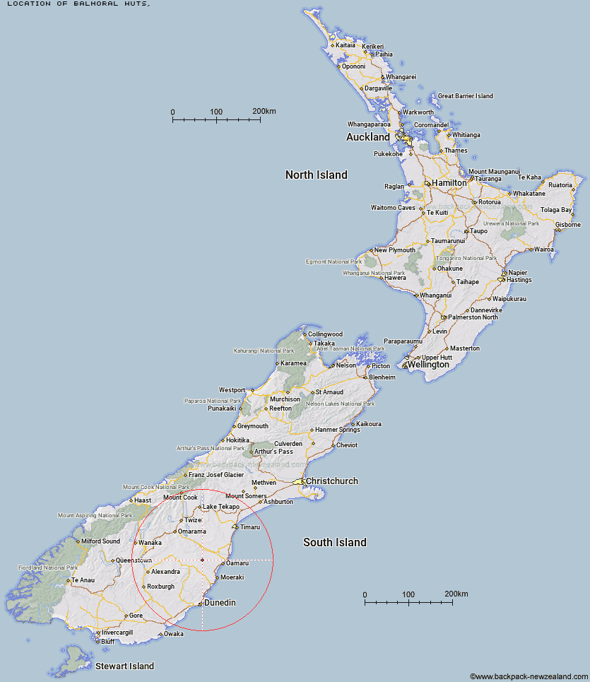
Topo Map showing location of Balmoral Huts
This information is sourced from DoC, LINZ and Openstreetmap. Some of the hut photos are mine and the rest are from DoC. I will be adding an upload feature soon so people can photos of .Balmoral Huts.
Latitude: -45.0201995334
Longitude: 170.540151558
Location:
Type of Hut:
Map: Topo Map | Road Map
Does this hut still exist? Have any more information? Contact
Latitude: -45.0201995334
Longitude: 170.540151558
Location:
Type of Hut:
Map: Topo Map | Road Map
Does this hut still exist? Have any more information? Contact
Scroll down to see a topographical map and road map showing the location of Balmoral Huts
[ A ] [ B ] [ C ] [ D ] [ E ] [ F ] [ G ] [ H ] [ I ] [ J ] [ K ] [ L ] [ M ] [ N ] [ O ] [ P ] [ Q ] [ R ] [ S ] [ T ] [ U ] [ V ] [ W ] [ Y ] [ Z ]
Closest 20 Huts to Balmoral Huts
These are as the crow fliesMiddle Hut 6.28km Crumb Hut 11.63km Half Moon Hut 13.59km Mitchells Hut 15.55km Mount Hut 15.62km Grays Hut 16.42km Cayenne Hut 19.7km Gentle Annie Hut 21.93km Bog Hut 22.57km Buster Hut 24.35km Brown Hut 26.15km Red Hut 27.64km Hut Creek Hut 29.2km Tailings Hut 29.77km Staircase Hut 32.29km Awakino Ski Field 32.52km Ida Railway Hut 35.67km Chimney Creek Hut 35.8km Wire Yards Hut 38.34km Pearson Hut 47.22km Waitaki Huts 48.54km Leaning Lodge 56.82km Otamatapaio Hut 58.09km Big Hut 58.83km Boundary Creek Hut 62.98km Top Hut 69.33km Lauder Basin Hut 71.96km Bendoran Hut 72.13km Richmond Hut 73.14km Howells Hut 73.93km Christmas Creek Hut 76.69km Philip J Cox Memorial Hut 76.95km Jubilee Hut 78.1km Mt John Hut 78.18km Canadian Hut 80.38km Possum Hut 81.06km Polson's Hut 82.18km Poplar Hut 82.34km The Swamp Hut 82.48km Tent Hut 89.47km