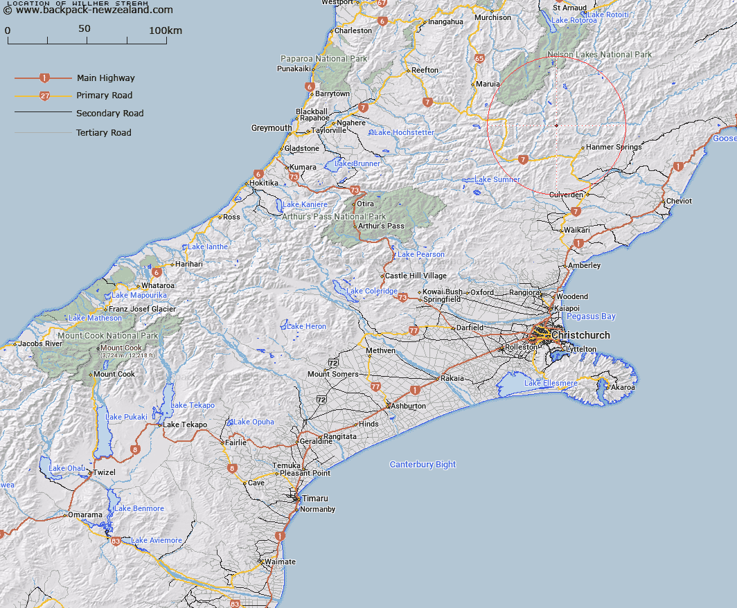
Map showing location of Willmer Stream
LINZ description: A small stream, 4km long, flowing south-easterly into Edwards River in the St James Range, located 17km north-west of Hanmer Springs. NZTopo50 BT24-Ada Flat, from source: GR 722 066 to confluence: GR 742 037 (NZTM2000: 5303700 N 1574200 E; NZGD2000: 42 25 07 S 172 41 11 E).
Latitude: -42.408734
Longitude: 172.683436
Northing: 5304792.4
Easting: 1573951.4
Land District: Canterbury
Feat Type: Stream
Latitude: -42.408734
Longitude: 172.683436
Northing: 5304792.4
Easting: 1573951.4
Land District: Canterbury
Feat Type: Stream

Scroll down to see a more detailed road map and below that a topographical map showing the location of Willmer Stream. The road map has been supplied by openstreetmap and the topographical map of Willmer Stream has been supplied by Land Information New Zealand (LINZ).
Yes you can use the top static map for you school/university project or personal website with a link back. Contact me for any commercial use.
[ A ] [ B ] [ C ] [ D ] [ E ] [ F ] [ G ] [ H ] [ I ] [ J ] [ K ] [ L ] [ M ] [ N ] [ O ] [ P ] [ Q ] [ R ] [ S ] [ T ] [ U ] [ V ] [ W ] [ X ] [ Y ] [ Z ]