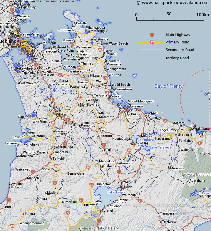
Map showing location of White Island Canyon
LINZ description: 37°35′S Latitude, 177°14.20′E Longitude. A southwest-northeast aligned undersea canyon 550m to 1100m deep, located at the head of Whakaari / White Island Trough, just offshore from the continental slope and southeast of Whakaari / White Island.
Latitude: -37.583333
Longitude: 177.236667
Northing: 5831967.6
Easting: 1974150.7
Land District: South Auckland
Feat Type: Canyon
Latitude: -37.583333
Longitude: 177.236667
Northing: 5831967.6
Easting: 1974150.7
Land District: South Auckland
Feat Type: Canyon

Scroll down to see a more detailed road map and below that a topographical map showing the location of White Island Canyon. The road map has been supplied by openstreetmap and the topographical map of White Island Canyon has been supplied by Land Information New Zealand (LINZ).
Yes you can use the top static map for you school/university project or personal website with a link back. Contact me for any commercial use.
[ A ] [ B ] [ C ] [ D ] [ E ] [ F ] [ G ] [ H ] [ I ] [ J ] [ K ] [ L ] [ M ] [ N ] [ O ] [ P ] [ Q ] [ R ] [ S ] [ T ] [ U ] [ V ] [ W ] [ X ] [ Y ] [ Z ]