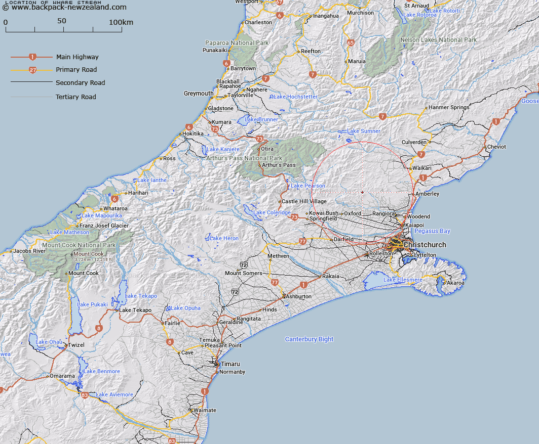
Map showing location of Whare Stream


LINZ description: Right bank tributary of Okuku River, rising 1.3km North-west of Mount Thomas [Trig. Mount Thomas No 2 (Geodetic Code A9UW)], flowing northwards and joining Okuku River 1.2km South-west of Round Hill. Block X Mount Thomas Survey District.
Latitude: -43.141176
Longitude: 172.345807
Northing: 5223300
Easting: 1546800
Land District: Canterbury
Feat Type: Stream


Scroll down to see a more detailed road map and below that a topographical map showing the location of Whare Stream. The road map has been supplied by openstreetmap and the topographical map of Whare Stream has been supplied by Land Information New Zealand (LINZ).

Yes you can use the top static map for you school/university project or personal website with a link back. Contact me for any commercial use.

Whare Stream Map New Zealand


New Zealand places in our database
[ A ] [ B ] [ C ] [ D ] [ E ] [ F ] [ G ] [ H ] [ I ] [ J ] [ K ] [ L ] [ M ] [ N ] [ O ] [ P ] [ Q ] [ R ] [ S ] [ T ] [ U ] [ V ] [ W ] [ X ] [ Y ] [ Z ]


Closest 20 Streams to Whare Stream

Gorge Stream ( 0.72km )   Pinchgut Stream ( 1.41km )   Round Hill Stream ( 2.75km )   Cattlepeak Stream ( 2.95km )   Tapley Stream ( 3.63km )   Fox Creek ( 4.58km )   Okuku River South Branch ( 4.76km )   Retreat Stream ( 5.57km )   Pioneer Stream ( 5.83km )   Kowhai Stream ( 6.41km )   Blowhard Stream ( 6.42km )   Maori Stream ( 6.78km )   Garry River ( 7.83km )   Bald Hills Stream ( 8.61km )   Karetu River ( 8.79km )   Washpool Stream ( 9.14km )   Hut Stream ( 9.27km )   Mount Thomas Stream ( 9.34km )   Rocky Stream ( 9.42km )   Okuku Downs Stream ( 9.46km )   Duck Creek ( 9.47km )   Ribbonwood Stream ( 9.58km )   Glentui River ( 10.12km )   Bullock Creek ( 10.24km )   Birds Eye Stream ( 10.43km )   Firewood Stream ( 10.82km )   Nicholls Stream ( 10.94km )   Ashley River/Rakahuri ( 11.04km )   Ashley River ( 11.04km )   Wharfedale Stream ( 11.13km )   Dorman Stream ( 11.74km )   Grey River ( 11.89km )   Grey River West Branch ( 12.04km )   Richardson Stream ( 12.57km )   Cascade Stream ( 12.67km )   Pancake Stream ( 12.75km )   Long Spur Stream ( 13.61km )   Canary Stream ( 13.76km )   Dog Leg Stream ( 13.77km )   Ladbrook Stream ( 13.81km )