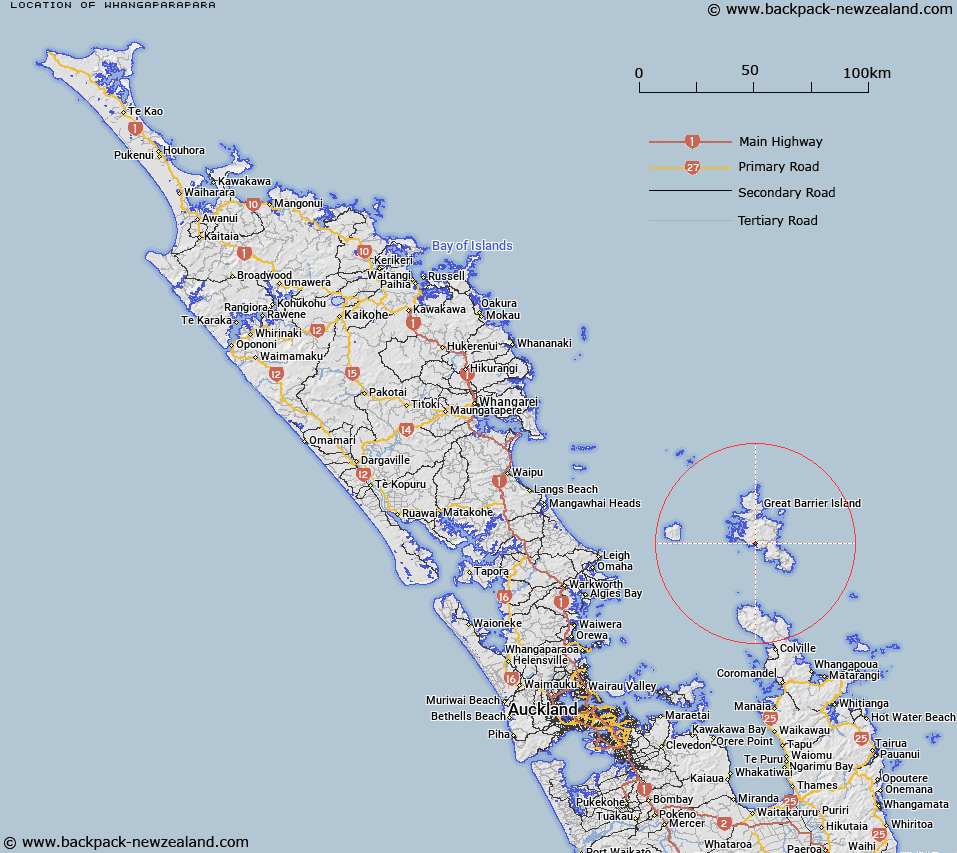
Map showing location of Whangaparapara
LINZ description: Locality in Whangaparapara Harbour on south eastern coast of Great Barrier Island in the Hauraki Gulf.
Latitude: -36.242382
Longitude: 175.398202
Northing: 5986500
Easting: 1815500
Land District: North Auckland
Feat Type: Locality
Latitude: -36.242382
Longitude: 175.398202
Northing: 5986500
Easting: 1815500
Land District: North Auckland
Feat Type: Locality

Scroll down to see a more detailed road map and below that a topographical map showing the location of Whangaparapara. The road map has been supplied by openstreetmap and the topographical map of Whangaparapara has been supplied by Land Information New Zealand (LINZ).
Yes you can use the top static map for you school/university project or personal website with a link back. Contact me for any commercial use.
[ A ] [ B ] [ C ] [ D ] [ E ] [ F ] [ G ] [ H ] [ I ] [ J ] [ K ] [ L ] [ M ] [ N ] [ O ] [ P ] [ Q ] [ R ] [ S ] [ T ] [ U ] [ V ] [ W ] [ X ] [ Y ] [ Z ]