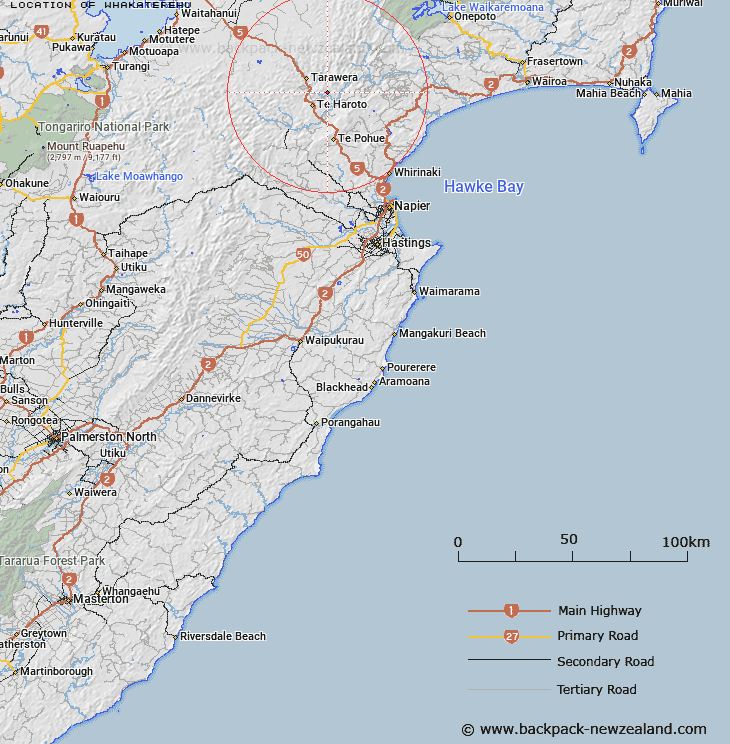
Map showing location of Whakaterehu
LINZ description: Locality shown on NZMS013 HB5 (Hawke's Bay Land District, Tarawera Survey District, Block XII)
Latitude: -39.080742
Longitude: 176.655263
Northing: 5667900
Easting: 1916200
Land District: Hawke's Bay
Feat Type: Locality
Latitude: -39.080742
Longitude: 176.655263
Northing: 5667900
Easting: 1916200
Land District: Hawke's Bay
Feat Type: Locality

Scroll down to see a more detailed road map and below that a topographical map showing the location of Whakaterehu. The road map has been supplied by openstreetmap and the topographical map of Whakaterehu has been supplied by Land Information New Zealand (LINZ).
Yes you can use the top static map for you school/university project or personal website with a link back. Contact me for any commercial use.
[ A ] [ B ] [ C ] [ D ] [ E ] [ F ] [ G ] [ H ] [ I ] [ J ] [ K ] [ L ] [ M ] [ N ] [ O ] [ P ] [ Q ] [ R ] [ S ] [ T ] [ U ] [ V ] [ W ] [ X ] [ Y ] [ Z ]