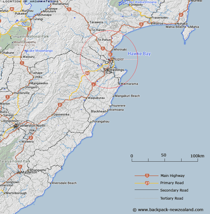
Map showing location of Waiwakatetire
LINZ description: Position to be determined. Not shown on map series NZMS1, NZMS13, NZMS260, NZTopo50.
Latitude: -39.498641
Longitude: 176.851469
Northing: 5620800
Easting: 1931200
Land District: Hawke's Bay
Feat Type: Locality
Latitude: -39.498641
Longitude: 176.851469
Northing: 5620800
Easting: 1931200
Land District: Hawke's Bay
Feat Type: Locality

Scroll down to see a more detailed road map and below that a topographical map showing the location of Waiwakatetire. The road map has been supplied by openstreetmap and the topographical map of Waiwakatetire has been supplied by Land Information New Zealand (LINZ).
Yes you can use the top static map for you school/university project or personal website with a link back. Contact me for any commercial use.
[ A ] [ B ] [ C ] [ D ] [ E ] [ F ] [ G ] [ H ] [ I ] [ J ] [ K ] [ L ] [ M ] [ N ] [ O ] [ P ] [ Q ] [ R ] [ S ] [ T ] [ U ] [ V ] [ W ] [ X ] [ Y ] [ Z ]