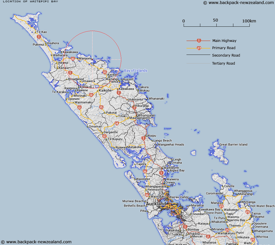
Map showing location of Waitepipi Bay


LINZ description: A small bay within Pekapeka Bay, on the southern side of Kōwhairoa Peninsula. Feature shown on: NZMS260 PQ 04; NZTopo50-AU28 670265 to AU28 667264.
Latitude: -35.001914
Longitude: 173.732029
Northing: 6126500
Easting: 1666798
Land District: North Auckland
Feat Type: Bay


Scroll down to see a more detailed road map and below that a topographical map showing the location of Waitepipi Bay. The road map has been supplied by openstreetmap and the topographical map of Waitepipi Bay has been supplied by Land Information New Zealand (LINZ).

Yes you can use the top static map for you school/university project or personal website with a link back. Contact me for any commercial use.

Waitepipi Bay Map New Zealand


New Zealand places in our database
[ A ] [ B ] [ C ] [ D ] [ E ] [ F ] [ G ] [ H ] [ I ] [ J ] [ K ] [ L ] [ M ] [ N ] [ O ] [ P ] [ Q ] [ R ] [ S ] [ T ] [ U ] [ V ] [ W ] [ X ] [ Y ] [ Z ]


Closest 20 Bays to Waitepipi Bay

Te Komanga Bay ( 0.38km )   Rere Bay ( 0.89km )   Te Rere Bay ( 0.89km )   Pekapeka Bay ( 1.44km )   Ranfurly Bay ( 1.88km )   K?hatupap? / Ranfurly Bay ( 1.88km )   Taupo Bay (West Bay) ( 2.01km )   Waihi Bay ( 2.27km )   Waihe Bay ( 2.27km )   Pararako Bay ( 3.78km )   Okura Bay ( 3.81km )   Tauranga Bay ( 3.96km )   Camp Bay ( 3.98km )   Whangaroa Bay ( 4.35km )   Owhanga Bay ( 4.44km )   Owhatanga Bay ( 4.44km )   Frear Bay ( 4.91km )   Pumanawa Bay ( 5km )   Waitapu Bay ( 5.38km )   Marble Bay ( 5.41km )   Whangaroa Harbour ( 5.92km )   Touwai Bay ( 6.01km )   Tupou Bay ( 7.42km )   Whangaihe Bay ( 7.72km )   East Bay ( 8.51km )   Waihapa Bay ( 8.53km )   Motukahakaha Bay ( 9.15km )   Mahinepua Bay ( 10.33km )   Wainui Bay ( 11.15km )   Omiru Bay ( 11.37km )   Waimahana Bay ( 11.49km )   Piapia Bay ( 11.71km )   Taiaue Bay ( 12.23km )   Whau Bay ( 13.93km )   Whangarino Bay ( 15.29km )   Parua Bay ( 15.55km )   Taemaro Bay ( 15.56km )   Taimaro Bay ( 15.56km )   Taimaru Bay ( 15.56km )   Waiheke Bay ( 16.26km )