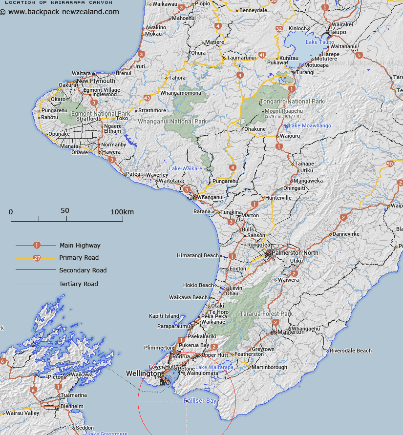
Map showing location of Wairarapa Canyon
LINZ description: A branch of Cook Strait Canyon incised into the continental shelf and slope at the western side of Palliser Bay. Depicted on Palliser Chart©, Mitchell, 1988.
Latitude: -41.4667
Longitude: 174.9667
Northing: 5407565.8
Easting: 1764234.3
Land District: Wellington
Feat Type: Canyon
Latitude: -41.4667
Longitude: 174.9667
Northing: 5407565.8
Easting: 1764234.3
Land District: Wellington
Feat Type: Canyon

Scroll down to see a more detailed road map and below that a topographical map showing the location of Wairarapa Canyon. The road map has been supplied by openstreetmap and the topographical map of Wairarapa Canyon has been supplied by Land Information New Zealand (LINZ).
Yes you can use the top static map for you school/university project or personal website with a link back. Contact me for any commercial use.
[ A ] [ B ] [ C ] [ D ] [ E ] [ F ] [ G ] [ H ] [ I ] [ J ] [ K ] [ L ] [ M ] [ N ] [ O ] [ P ] [ Q ] [ R ] [ S ] [ T ] [ U ] [ V ] [ W ] [ X ] [ Y ] [ Z ]