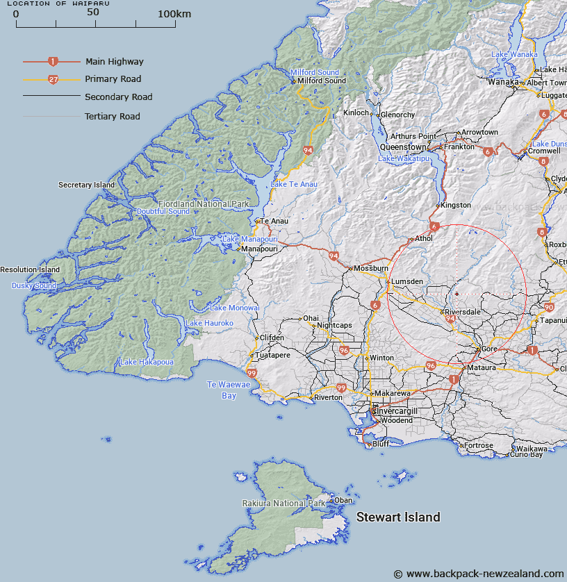
Map showing location of Waiparu


LINZ description: Station Q (Round Downs)
Latitude: -45.800747
Longitude: 168.822819
Northing: 4919600
Easting: 1275400
Land District: Southland
Feat Type: Trig Station


Scroll down to see a more detailed road map and below that a topographical map showing the location of Waiparu. The road map has been supplied by openstreetmap and the topographical map of Waiparu has been supplied by Land Information New Zealand (LINZ).

Yes you can use the top static map for you school/university project or personal website with a link back. Contact me for any commercial use.

Waiparu Map New Zealand


New Zealand places in our database
[ A ] [ B ] [ C ] [ D ] [ E ] [ F ] [ G ] [ H ] [ I ] [ J ] [ K ] [ L ] [ M ] [ N ] [ O ] [ P ] [ Q ] [ R ] [ S ] [ T ] [ U ] [ V ] [ W ] [ X ] [ Y ] [ Z ]


Closest 20 Trig Stations to Waiparu

Kelvin Peak ( 29.37km )   Forest Hill ( 52.22km )   Hyde Rock ( 54.34km )   Gowan Hill ( 60.28km )   Mataura ( 69.77km )   Mokoreta ( 71.52km )   Toetoes ( 80.97km )   Fortrose ( 89.9km )   Glenomaru ( 92.51km )   Jeffrey ( 116.34km )   North Taieri ( 117.91km )   Tor ( 143.26km )   McArthny ( 144.25km )   Waikouaiti ( 144.47km )   Waihemo ( 145.67km )   Obi ( 146.2km )   The Rock ( 146.44km )   Kohurau ( 161.44km )   Moeraki ( 164.3km )   Kauru Hill ( 166.86km )   Kauroo Hill ( 166.86km )   Pentland Hill ( 202.14km )   Yellow Hill ( 202.14km )   Te Huruhuru ( 216.87km )   Chastleton ( 249.14km )   Rangitata ( 281.13km )   Coldstream ( 281.13km )   Rabbit Hill ( 300.23km )   Round Top ( 343.72km )   Tara ( 359.84km )   Koiterangi ( 366.81km )   Kowhitirangi ( 366.81km )   Tihiokahukura ( 392.84km )   Harris ( 398.25km )   Weka ( 437.13km )   Pahau ( 459.66km )   Mount Saul ( 471.54km )   Flintoft ( 473.14km )   Flintoff ( 473.14km )   Faerie Queene ( 491.58km )