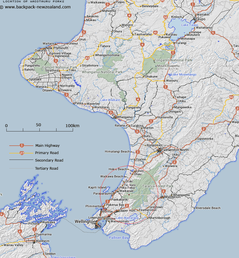
Map showing location of Waiotauru Forks
LINZ description: Area at river junction of Southern Waiotauru and Eastern Waiotauru (Snowy) Rivers in southern Tararua Range. Block XVI Kaitawa Survey District.
Latitude: -40.917922
Longitude: 175.207184
Northing: 5468008.9
Easting: 1785864.3
Land District: Wellington
Feat Type: Fork
Latitude: -40.917922
Longitude: 175.207184
Northing: 5468008.9
Easting: 1785864.3
Land District: Wellington
Feat Type: Fork

Scroll down to see a more detailed road map and below that a topographical map showing the location of Waiotauru Forks. The road map has been supplied by openstreetmap and the topographical map of Waiotauru Forks has been supplied by Land Information New Zealand (LINZ).
Yes you can use the top static map for you school/university project or personal website with a link back. Contact me for any commercial use.
[ A ] [ B ] [ C ] [ D ] [ E ] [ F ] [ G ] [ H ] [ I ] [ J ] [ K ] [ L ] [ M ] [ N ] [ O ] [ P ] [ Q ] [ R ] [ S ] [ T ] [ U ] [ V ] [ W ] [ X ] [ Y ] [ Z ]