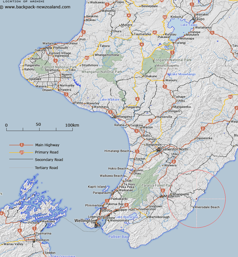
Map showing location of Waimimi
LINZ description: A hill at height 286m located on the east coast of south Wairarapa approximately 11km southwest of Castle Point. Geodetic mark B0R8 is located at the summit. Feature shown on: NZMS260 U26 Edition 1 1978; NZTopo50-BP36 621586
Latitude: -40.981417
Longitude: 176.114833
Northing: 5458631.9
Easting: 1862054.1
Land District: Wellington
Feat Type: Hill
Latitude: -40.981417
Longitude: 176.114833
Northing: 5458631.9
Easting: 1862054.1
Land District: Wellington
Feat Type: Hill

Scroll down to see a more detailed road map and below that a topographical map showing the location of Waimimi. The road map has been supplied by openstreetmap and the topographical map of Waimimi has been supplied by Land Information New Zealand (LINZ).
Yes you can use the top static map for you school/university project or personal website with a link back. Contact me for any commercial use.
[ A ] [ B ] [ C ] [ D ] [ E ] [ F ] [ G ] [ H ] [ I ] [ J ] [ K ] [ L ] [ M ] [ N ] [ O ] [ P ] [ Q ] [ R ] [ S ] [ T ] [ U ] [ V ] [ W ] [ X ] [ Y ] [ Z ]