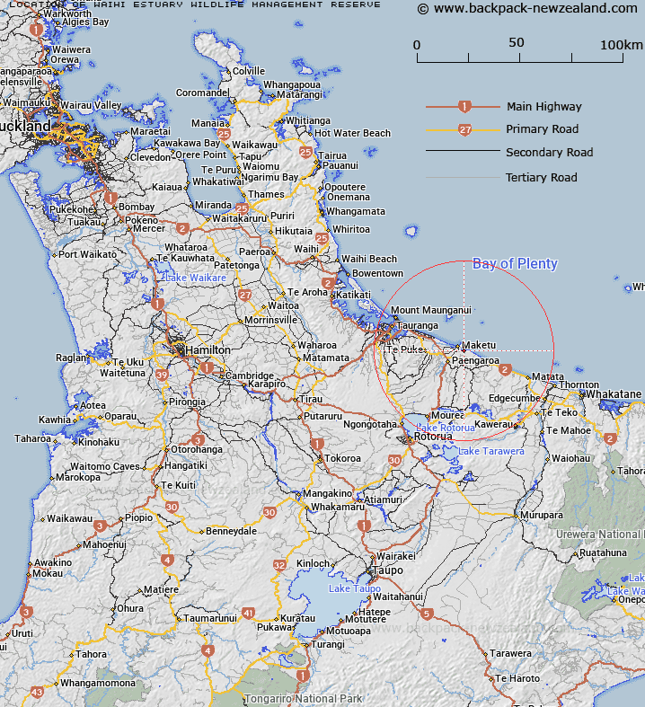
Map showing location of Waihi Estuary Wildlife Management Reserve
LINZ description: 26.506 hectares being Section 1 SO 57042
Latitude: -37.777155
Longitude: 176.481085
Northing: 5813200
Easting: 1906600
Land District: South Auckland
Feat Type: Wildlife Management Area
Latitude: -37.777155
Longitude: 176.481085
Northing: 5813200
Easting: 1906600
Land District: South Auckland
Feat Type: Wildlife Management Area

Scroll down to see a more detailed road map and below that a topographical map showing the location of Waihi Estuary Wildlife Management Reserve. The road map has been supplied by openstreetmap and the topographical map of Waihi Estuary Wildlife Management Reserve has been supplied by Land Information New Zealand (LINZ).
Yes you can use the top static map for you school/university project or personal website with a link back. Contact me for any commercial use.
[ A ] [ B ] [ C ] [ D ] [ E ] [ F ] [ G ] [ H ] [ I ] [ J ] [ K ] [ L ] [ M ] [ N ] [ O ] [ P ] [ Q ] [ R ] [ S ] [ T ] [ U ] [ V ] [ W ] [ X ] [ Y ] [ Z ]