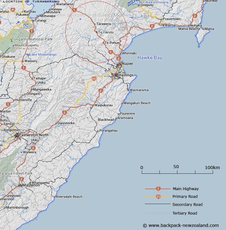
Map showing location of Turangakumu
LINZ description: Located east of Ahimanawa Range, approximately 1.5km north-west from Te Haroto.
Latitude: -39.118691
Longitude: 176.593629
Northing: 5663900
Easting: 1910700
Land District: Hawke's Bay
Feat Type: Locality
Latitude: -39.118691
Longitude: 176.593629
Northing: 5663900
Easting: 1910700
Land District: Hawke's Bay
Feat Type: Locality

Scroll down to see a more detailed road map and below that a topographical map showing the location of Turangakumu. The road map has been supplied by openstreetmap and the topographical map of Turangakumu has been supplied by Land Information New Zealand (LINZ).
Yes you can use the top static map for you school/university project or personal website with a link back. Contact me for any commercial use.
[ A ] [ B ] [ C ] [ D ] [ E ] [ F ] [ G ] [ H ] [ I ] [ J ] [ K ] [ L ] [ M ] [ N ] [ O ] [ P ] [ Q ] [ R ] [ S ] [ T ] [ U ] [ V ] [ W ] [ X ] [ Y ] [ Z ]