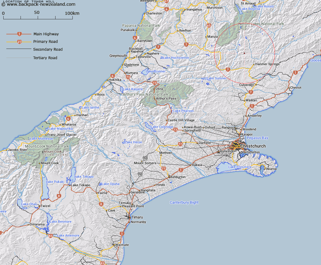
Map showing location of Tonga Hill


LINZ description: Hill between head of Sadds Stream and Edwards River, south of Mt Sadd.
Latitude: -42.388424
Longitude: 172.709642
Northing: 5307055.2
Easting: 1576100
Land District: Canterbury
Feat Type: Hill


Scroll down to see a more detailed road map and below that a topographical map showing the location of Tonga Hill. The road map has been supplied by openstreetmap and the topographical map of Tonga Hill has been supplied by Land Information New Zealand (LINZ).

Yes you can use the top static map for you school/university project or personal website with a link back. Contact me for any commercial use.

Tonga Hill Map New Zealand


New Zealand places in our database
[ A ] [ B ] [ C ] [ D ] [ E ] [ F ] [ G ] [ H ] [ I ] [ J ] [ K ] [ L ] [ M ] [ N ] [ O ] [ P ] [ Q ] [ R ] [ S ] [ T ] [ U ] [ V ] [ W ] [ X ] [ Y ] [ Z ]


Closest 20 Hills to Tonga Hill

Mount Sadd ( 1.72km )   Mount Pollock ( 1.8km )   Mount Willmer ( 2.72km )   Mount Wilmer ( 2.72km )   Mount Horrible ( 3.18km )   Samoa Mound ( 4.32km )   Plinlimmon ( 4.94km )   Red Hill ( 5.14km )   Mount Saint George ( 6.4km )   Mount Clara ( 6.4km )   Mount Taliessin ( 6.41km )   Mount Maria ( 6.56km )   Mount Saint Patrick ( 6.58km )   Birdcage ( 6.58km )   Mount Catley ( 6.97km )   San Jago ( 7.11km )   Peters Hill ( 7.15km )   Mount Pickett ( 7.43km )   Mount Douglas ( 8.26km )   Lookout Hill ( 8.27km )   Rabbit Hill ( 8.94km )   Charlies Hill ( 9.19km )   Mount Muntz ( 9.4km )   Mount Captain ( 9.6km )   San Miguel ( 9.72km )   Eulalie Mound ( 10.02km )   Mount Scott ( 10.12km )   Mount Laura ( 10.18km )   Bunkers Hill ( 10.22km )   Mount Seymour ( 10.25km )   Mount Woolley ( 10.27km )   Lake Hill ( 10.48km )   Mount Scaife ( 10.49km )   Miromiro ( 11.02km )   Blue Mountain ( 11.07km )   Mount Charon ( 11.21km )   Saint Mary ( 11.66km )   Billhook Peak ( 12.25km )   Tabletop ( 12.26km )   Maukuratawhai ( 12.53km )