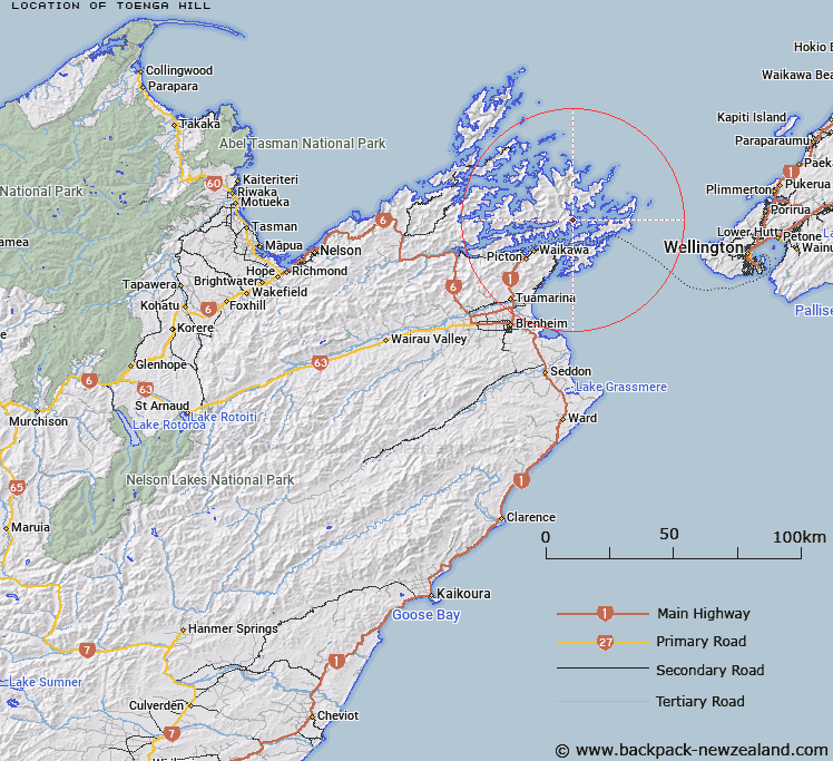
Map showing location of Toenga Hill


LINZ description: Prominent bush-clad hill on which Trig. H is situated, behind Cockle Bay, Bay of Many Coves. Gore Survey District.
Latitude: -41.165905
Longitude: 174.172596
Northing: 5442163
Easting: 1698370.3
Land District: Marlborough
Feat Type: Hill


Scroll down to see a more detailed road map and below that a topographical map showing the location of Toenga Hill. The road map has been supplied by openstreetmap and the topographical map of Toenga Hill has been supplied by Land Information New Zealand (LINZ).

Yes you can use the top static map for you school/university project or personal website with a link back. Contact me for any commercial use.

Toenga Hill Map New Zealand


New Zealand places in our database
[ A ] [ B ] [ C ] [ D ] [ E ] [ F ] [ G ] [ H ] [ I ] [ J ] [ K ] [ L ] [ M ] [ N ] [ O ] [ P ] [ Q ] [ R ] [ S ] [ T ] [ U ] [ V ] [ W ] [ X ] [ Y ] [ Z ]


Closest 20 Hills to Toenga Hill

Kaitapeha ( 6.98km )   Tahuahua ( 7.4km )   Mount McMahon ( 7.9km )   Mount Robinson ( 9.09km )   Arapawa ( 9.42km )   Grants Lookout ( 9.5km )   Mount Furneaux ( 9.56km )   Mount Stokes ( 10.26km )   Taraukawa ( 11.79km )   Kahikatea ( 11.8km )   Rahotia ( 11.99km )   Oterawhanga ( 13.41km )   Mount Kiwi ( 13.98km )   Tahuakai ( 14.64km )   Jacksons Head ( 14.77km )   Bobs Knob ( 15.84km )   Narawhia ( 16.05km )   Bald Hill ( 16.59km )   Puzzle Peak ( 16.6km )   Mount McCormick ( 17.19km )   Piripiri ( 19.11km )   Onahau ( 20.72km )   Mount Bolton ( 20.93km )   Te Tara-o-Te-Marama / Mount Freeth ( 22.04km )   Mount Freeth ( 22.04km )   Kauauroa ( 23.01km )   Mount Robertson ( 23.83km )   Tokomaru / Mount Robertson ( 23.83km )   Mount Oliver ( 26.69km )   Devils Staircase ( 28.59km )   Kahuroa Hill ( 29.13km )   Mount Duncan ( 29.74km )   Strachan Peak ( 30.24km )   Mount Stanley ( 30.33km )   Cannon Hill ( 31.07km )   Mount Drew ( 31.37km )   Mount Cawte ( 31.51km )   Cone Peak ( 31.88km )   Turner Peak ( 32.22km )   Mount Shewell ( 32.34km )