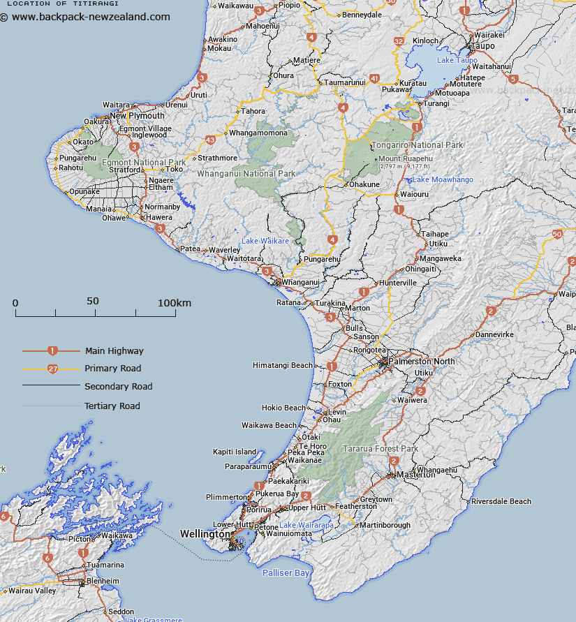
Map showing location of Titirangi
LINZ description: Locality on coast of Te Whanga Lagoon, midway between Cattle Point and Karewa Point, Chatham Island
Latitude: -43.804138
Longitude: -176.502565
Northing: 0
Easting: 0
Land District: Wellington
Feat Type: Locality
Latitude: -43.804138
Longitude: -176.502565
Northing: 0
Easting: 0
Land District: Wellington
Feat Type: Locality

Scroll down to see a more detailed road map and below that a topographical map showing the location of Titirangi. The road map has been supplied by openstreetmap and the topographical map of Titirangi has been supplied by Land Information New Zealand (LINZ).
Yes you can use the top static map for you school/university project or personal website with a link back. Contact me for any commercial use.
[ A ] [ B ] [ C ] [ D ] [ E ] [ F ] [ G ] [ H ] [ I ] [ J ] [ K ] [ L ] [ M ] [ N ] [ O ] [ P ] [ Q ] [ R ] [ S ] [ T ] [ U ] [ V ] [ W ] [ X ] [ Y ] [ Z ]