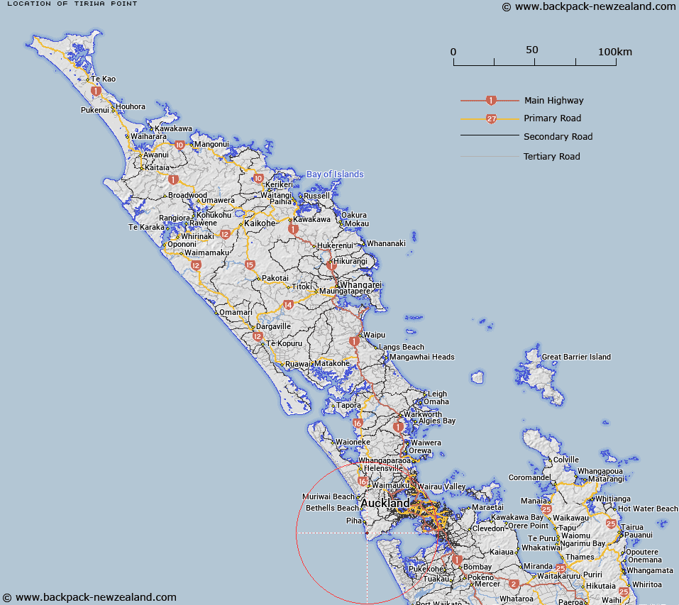
Map showing location of Tiriwa Point


LINZ description: Point south of Karekare locality, north of Pararaha Head.
Latitude: -37.008989
Longitude: 174.485523
Northing: 5903099
Easting: 1732164.5
Land District: North Auckland
Feat Type: Point


Scroll down to see a more detailed road map and below that a topographical map showing the location of Tiriwa Point. The road map has been supplied by openstreetmap and the topographical map of Tiriwa Point has been supplied by Land Information New Zealand (LINZ).

Yes you can use the top static map for you school/university project or personal website with a link back. Contact me for any commercial use.

Tiriwa Point Map New Zealand


New Zealand places in our database
[ A ] [ B ] [ C ] [ D ] [ E ] [ F ] [ G ] [ H ] [ I ] [ J ] [ K ] [ L ] [ M ] [ N ] [ O ] [ P ] [ Q ] [ R ] [ S ] [ T ] [ U ] [ V ] [ W ] [ X ] [ Y ] [ Z ]


Closest 20 Points to Tiriwa Point

Pararaha Point ( 0.53km )   Tunnel Point ( 0.77km )   Ohaka Head ( 1.15km )   Cowan Point ( 1.49km )   Karekau Point ( 2.05km )   Karekare Point ( 2.05km )   Pascoe Point ( 2.77km )   Farley Point ( 3.19km )   Windy Point ( 3.24km )   Sargent Point ( 3.78km )   Te Ahu Point ( 4.04km )   Te Ahua Point ( 4.04km )   Wing Head ( 4.35km )   Nahana Point ( 4.48km )   Burnett Head ( 4.58km )   Beacon Point ( 4.78km )   Takatu Head ( 4.89km )   Kaiwhare Point ( 5.45km )   Sawyers Point ( 5.89km )   Kaiteke Point ( 6.6km )   South Head ( 6.65km )   Kaitarakihi Point ( 7.81km )   Te Pirau Point (Jones Head) ( 7.88km )   Orpheus Point ( 8.42km )   Taratara Point (Cake Island) ( 8.44km )   Te Waha Point ( 8.75km )   Tipitai Point ( 8.77km )   Fishermans Rock Point ( 9.35km )   Kakamatua Point ( 9.54km )   Pikaroro Point ( 10.25km )   Parera Point ( 10.34km )   Torea Bay ( 10.56km )   Lady Bell Point ( 10.68km )   Puketai Point ( 10.92km )   Puponga Point ( 11.29km )   Pukekowhai Point ( 11.36km )   Momori Point ( 11.8km )   Lawry Point ( 11.96km )   Mill Point ( 11.96km )   Raeakiaki Point ( 12.22km )