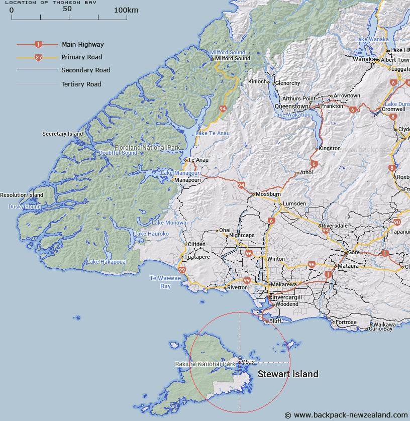
Map showing location of Thomson Bay
LINZ description: At south coast, Halfmoon Bay, just west of Peterson Point. The main bay fronting the settlement of Halfmoon Bay, at the head of Halfmoon Bay, Stewart Island. Block XV Paterson Survey District.
Latitude: -46.898084
Longitude: 168.130607
Northing: 4794641.1
Easting: 1229127.7
Land District: Southland
Feat Type: Bay
Latitude: -46.898084
Longitude: 168.130607
Northing: 4794641.1
Easting: 1229127.7
Land District: Southland
Feat Type: Bay

Scroll down to see a more detailed road map and below that a topographical map showing the location of Thomson Bay. The road map has been supplied by openstreetmap and the topographical map of Thomson Bay has been supplied by Land Information New Zealand (LINZ).
Yes you can use the top static map for you school/university project or personal website with a link back. Contact me for any commercial use.
[ A ] [ B ] [ C ] [ D ] [ E ] [ F ] [ G ] [ H ] [ I ] [ J ] [ K ] [ L ] [ M ] [ N ] [ O ] [ P ] [ Q ] [ R ] [ S ] [ T ] [ U ] [ V ] [ W ] [ X ] [ Y ] [ Z ]