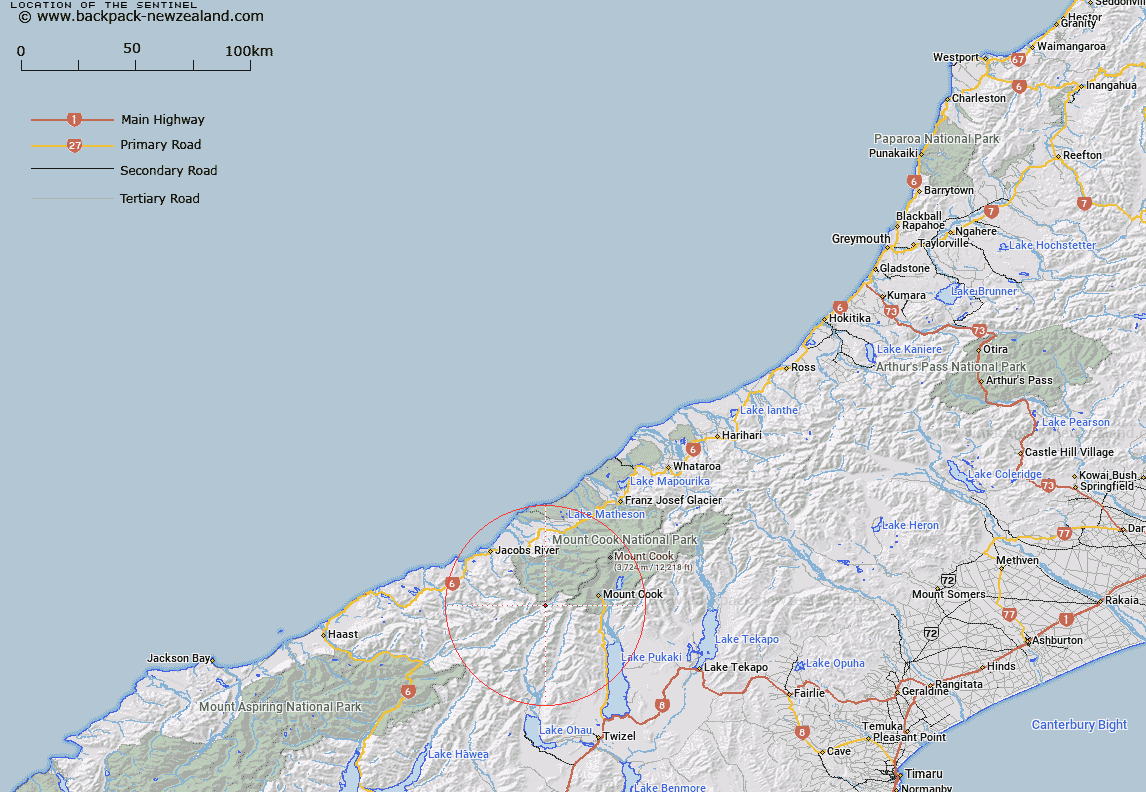
Map showing location of The Sentinel


LINZ description: Rock approximately 20m high, perched on an old moraine wall, in the headwaters area of the Landsborough River, at the junction of Landsborough River and Townsend Creek. Block V Mount Napoleon Survey District.
Latitude: -43.7706
Longitude: 169.892141
Northing: 5148910.3
Easting: 1349866.7
Land District: Westland
Feat Type: Rock


Scroll down to see a more detailed road map and below that a topographical map showing the location of The Sentinel. The road map has been supplied by openstreetmap and the topographical map of The Sentinel has been supplied by Land Information New Zealand (LINZ).

Yes you can use the top static map for you school/university project or personal website with a link back. Contact me for any commercial use.

The Sentinel Map New Zealand


New Zealand places in our database
[ A ] [ B ] [ C ] [ D ] [ E ] [ F ] [ G ] [ H ] [ I ] [ J ] [ K ] [ L ] [ M ] [ N ] [ O ] [ P ] [ Q ] [ R ] [ S ] [ T ] [ U ] [ V ] [ W ] [ X ] [ Y ] [ Z ]


Closest 20 Rocks to The Sentinel

Red Slip ( 19.78km )   Rock Etam ( 21.26km )   Scotts Slip ( 22.16km )   Tomnahurich Rock ( 26.64km )   Wilson Rock ( 43.75km )   Teichelmann Rock ( 44.31km )   Abbey Rocks ( 46.21km )   Alhambra Rock ( 71.79km )   Moses Rock ( 74.64km )   Monkey Rock ( 75.67km )   Black Rocks ( 79.92km )   Moses Rock ( 95.62km )   Parsons Rock ( 98.4km )   Robinson Slip ( 101.84km )   Great Rock ( 107.56km )   The Stone Man ( 114.93km )   Dashing Rocks ( 127.78km )   Fatboy Rock ( 129.89km )   Redoubt Pinnacles ( 132.43km )   Dome Rock ( 132.83km )   White Slip ( 133.54km )   George Rock ( 136.29km )   Column Rocks ( 137.77km )   Cutter Rocks ( 140.17km )   Gordon Rock ( 140.52km )   The Steeples ( 142.32km )   Kelp Rock ( 142.34km )   Castle Rock ( 142.48km )   Clarke Slip ( 144.78km )   Leaning Rock/Haehaeata ( 150.32km )   Leaning Rock ( 150.32km )   The Pinnacles ( 150.63km )   Chalmers Leap ( 152.1km )   Fort Jackson ( 152.55km )   Apostles Rock ( 153.48km )   Blue Slip ( 153.85km )   Sentinel Rock ( 154.12km )   Crayfish Rock ( 155.07km )   Grevilles Cone ( 155.84km )   Cascade Rock ( 158.67km )