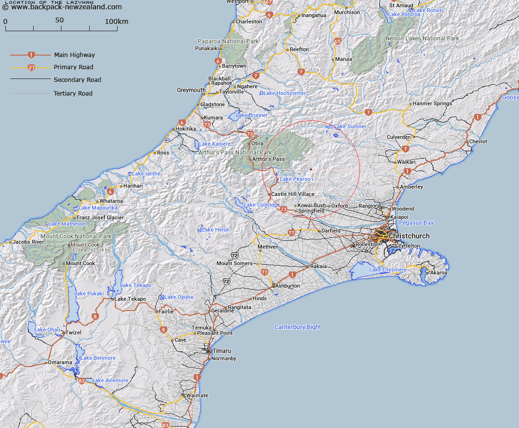
Map showing location of The Lazyman


LINZ description: A large flat tussock tableland area lying between Esk River and Brechin Burn north-east of Trig. N.
Latitude: -43.018948
Longitude: 172.04432
Northing: 5236637.9
Easting: 1522127.8
Land District: Canterbury
Feat Type: Flat


Scroll down to see a more detailed road map and below that a topographical map showing the location of The Lazyman. The road map has been supplied by openstreetmap and the topographical map of The Lazyman has been supplied by Land Information New Zealand (LINZ).

Yes you can use the top static map for you school/university project or personal website with a link back. Contact me for any commercial use.

The Lazyman Map New Zealand


New Zealand places in our database
[ A ] [ B ] [ C ] [ D ] [ E ] [ F ] [ G ] [ H ] [ I ] [ J ] [ K ] [ L ] [ M ] [ N ] [ O ] [ P ] [ Q ] [ R ] [ S ] [ T ] [ U ] [ V ] [ W ] [ X ] [ Y ] [ Z ]


Closest 20 Flats to The Lazyman

Aeroplane Flat ( 15.88km )   Rabbit Flat ( 17.2km )   Poverty Flat ( 17.88km )   Hallelujah Flat ( 20.15km )   Pig Flat ( 24.98km )   Dracophyllum Flat ( 32.49km )   Matagouri Flat ( 36.32km )   Turkey Flat ( 40.57km )   Pegleg Flat ( 42.02km )   Upper Acheron Flat ( 49.96km )   St Jacobs Flat ( 50.36km )   Moraine Flat ( 50.78km )   Acheron Flat ( 56.33km )   Phantom Flat ( 56.74km )   The Reserve ( 57.22km )   Goat Hill Flat ( 57.29km )   Kiwi Flat ( 58.7km )   Lynches Flat ( 59.3km )   Amphitheatre ( 60.84km )   Hospital Flat ( 63.57km )   Taylors Flat ( 63.76km )   Flagstaff Flat ( 64.65km )   Cookies Flat ( 66.48km )   Palmer Flat ( 68.27km )   Hamers Flat ( 68.38km )   McIntosh Flat ( 69.22km )   Treaceys Flat ( 69.25km )   Stag Flat ( 70.08km )   Jims Flat ( 70.44km )   Bottom Flat ( 72.32km )   Griffin Flat ( 73.42km )   Speargrass Flat ( 73.66km )   Revell Terrace ( 73.67km )   Fox Flat ( 76.69km )   Hanmer Plain ( 76.97km )   Minchicoff Terrace ( 77.15km )   Cockney Terrace ( 78.78km )   Mackleys Plain ( 79.67km )   Emu Plain ( 79.81km )   The Terraces ( 80.61km )