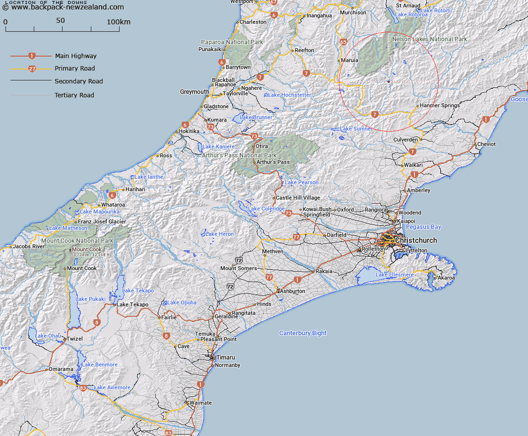
Map showing location of The Downs


LINZ description: Large moraine deposits on the left bank of the Waiau River.
Latitude: -42.346633
Longitude: 172.605584
Northing: 5311661
Easting: 1567513.3
Land District: Canterbury
Feat Type: Stream


Scroll down to see a more detailed road map and below that a topographical map showing the location of The Downs. The road map has been supplied by openstreetmap and the topographical map of The Downs has been supplied by Land Information New Zealand (LINZ).

Yes you can use the top static map for you school/university project or personal website with a link back. Contact me for any commercial use.

The Downs Map New Zealand


New Zealand places in our database
[ A ] [ B ] [ C ] [ D ] [ E ] [ F ] [ G ] [ H ] [ I ] [ J ] [ K ] [ L ] [ M ] [ N ] [ O ] [ P ] [ Q ] [ R ] [ S ] [ T ] [ U ] [ V ] [ W ] [ X ] [ Y ] [ Z ]


Closest 20 Streams to The Downs

Saddle Stream ( 1.97km )   Tobacco Stream ( 1.99km )   Delta Stream ( 2.4km )   Camping Stream ( 2.95km )   Danns Stream ( 3.37km )   Bankarts Stream ( 3.9km )   Glenrae Stream ( 4.27km )   Shaley Stream ( 4.56km )   Dumpy Stream ( 4.83km )   Jacksons Stream ( 4.83km )   Stanley River ( 5.03km )   Gorgy Stream ( 5.59km )   Thurso Stream ( 5.78km )   Racecourse Stream ( 6.48km )   Emilys Stream ( 6.5km )   Passion Stream ( 6.77km )   Muddy Stream ( 7.07km )   Jervois Stream ( 7.34km )   Rubicon Stream ( 7.73km )   Anne River ( 7.81km )   Ada River ( 8.07km )   Jones Stream ( 8.26km )   Cadwallo Stream ( 8.29km )   Willmer Stream ( 9.41km )   Wilmers Stream ( 9.41km )   Christopher River ( 9.42km )   Sadds Stream ( 9.45km )   Edwards River ( 9.54km )   Kia Stream ( 9.98km )   Smyths Stream ( 10.15km )   Henry River ( 10.98km )   Timms Stream ( 11.16km )   Cow Stream ( 11.47km )   Pass Stream ( 11.48km )   Tent Stream ( 11.95km )   Catley Stream ( 12.1km )   Horrible Stream ( 12.29km )   Stony Stream ( 12.29km )   Bullock Stream ( 12.66km )   Saint Marys Stream ( 12.68km )