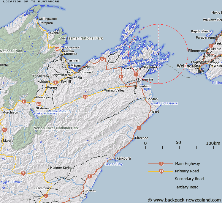
Map showing location of Te Ruatarore


LINZ description: Small bay located just south of Ekiera at the southern headland of Ship Cove, Queen Charlotte Sound (Totaranui). Block XV Gore Survey District.
Latitude: -41.108587
Longitude: 174.248285
Northing: 5448437.9
Easting: 1704811.4
Land District: Marlborough
Feat Type: Bay


Scroll down to see a more detailed road map and below that a topographical map showing the location of Te Ruatarore. The road map has been supplied by openstreetmap and the topographical map of Te Ruatarore has been supplied by Land Information New Zealand (LINZ).

Yes you can use the top static map for you school/university project or personal website with a link back. Contact me for any commercial use.

Te Ruatarore Map New Zealand


New Zealand places in our database
[ A ] [ B ] [ C ] [ D ] [ E ] [ F ] [ G ] [ H ] [ I ] [ J ] [ K ] [ L ] [ M ] [ N ] [ O ] [ P ] [ Q ] [ R ] [ S ] [ T ] [ U ] [ V ] [ W ] [ X ] [ Y ] [ Z ]


Closest 20 Bays to Te Ruatarore

Meretoto ( 1.43km )   Meretoto / Ship Cove ( 1.43km )   Resolution Bay ( 2.8km )   Cannibal Cove ( 3.4km )   Little Waikawa Bay ( 4.46km )   Waikawa Bay ( 4.46km )   Tawa Bay ( 5.15km )   Anatohia Bay ( 6.48km )   East Bay ( 6.68km )   Endeavour Inlet ( 6.71km )   Onehunga Bay ( 7.09km )   Fitzgerald Bay ( 7.36km )   Anakakata Bay ( 7.7km )   Bakers Bay ( 7.83km )   Tunnel Bay ( 7.9km )   Wharehunga Bay ( 7.92km )   Mint Bay ( 8.1km )   Big Bay ( 8.26km )   Papakura Bay ( 8.28km )   Deep Bay ( 8.51km )   Camp Bay ( 8.56km )   Longfellow Bay ( 8.62km )   Umukorora Bay ( 8.72km )   Kakaho Bay ( 8.76km )   Cherry Bay ( 8.79km )   Otanerau Bay ( 8.85km )   Wharekupenga Bay ( 8.88km )   Dryden Bay ( 9.05km )   Haumai Bay ( 9.14km )   Puriri Bay ( 9.32km )   Ngakuta Bay ( 9.4km )   Waimatete Bay ( 9.4km )   Melville Cove ( 9.45km )   Port Gore ( 9.48km )   Te Anam?hanga / Port Gore ( 9.48km )   Spencer Bay ( 9.53km )   Spenser Bay ( 9.53km )   Te Ipapakereru Bay ( 9.7km )   Oamaru Bay ( 9.88km )   Te Aroha Bay ( 9.97km )