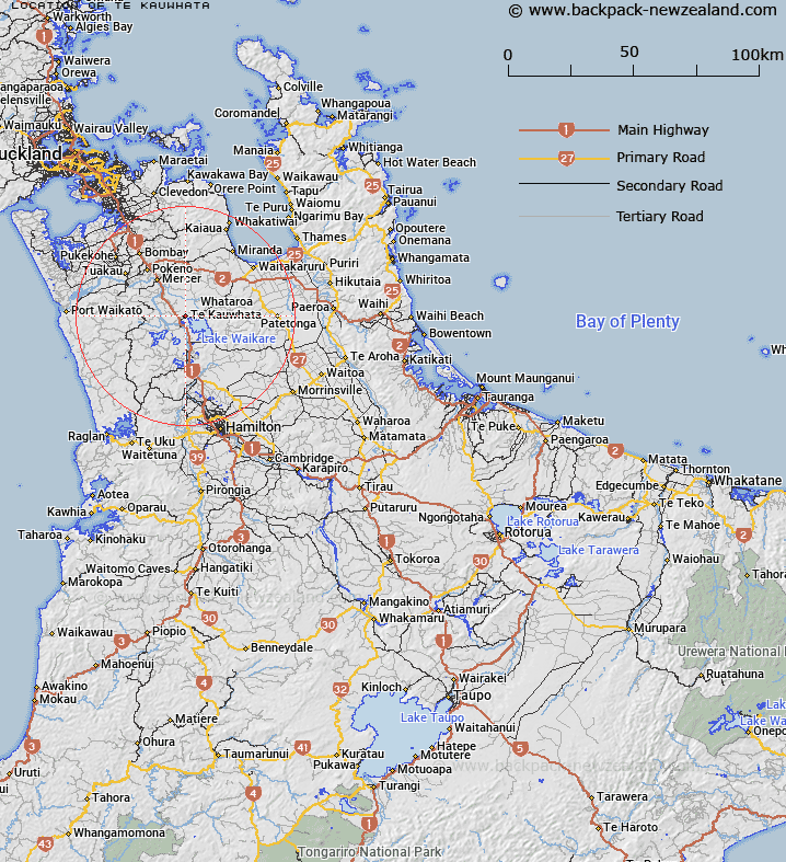
Map showing location of Te Kauwhata
LINZ description: Locality on the Northern shore of Lake Waikare, 2.5km from Rangiriri. Rangiriri Survey District.
Latitude: -37.402675
Longitude: 175.148177
Northing: 5858290.4
Easting: 1790135.5
Land District: South Auckland
Feat Type: Locality
Latitude: -37.402675
Longitude: 175.148177
Northing: 5858290.4
Easting: 1790135.5
Land District: South Auckland
Feat Type: Locality

Scroll down to see a more detailed road map and below that a topographical map showing the location of Te Kauwhata. The road map has been supplied by openstreetmap and the topographical map of Te Kauwhata has been supplied by Land Information New Zealand (LINZ).
Yes you can use the top static map for you school/university project or personal website with a link back. Contact me for any commercial use.
[ A ] [ B ] [ C ] [ D ] [ E ] [ F ] [ G ] [ H ] [ I ] [ J ] [ K ] [ L ] [ M ] [ N ] [ O ] [ P ] [ Q ] [ R ] [ S ] [ T ] [ U ] [ V ] [ W ] [ X ] [ Y ] [ Z ]