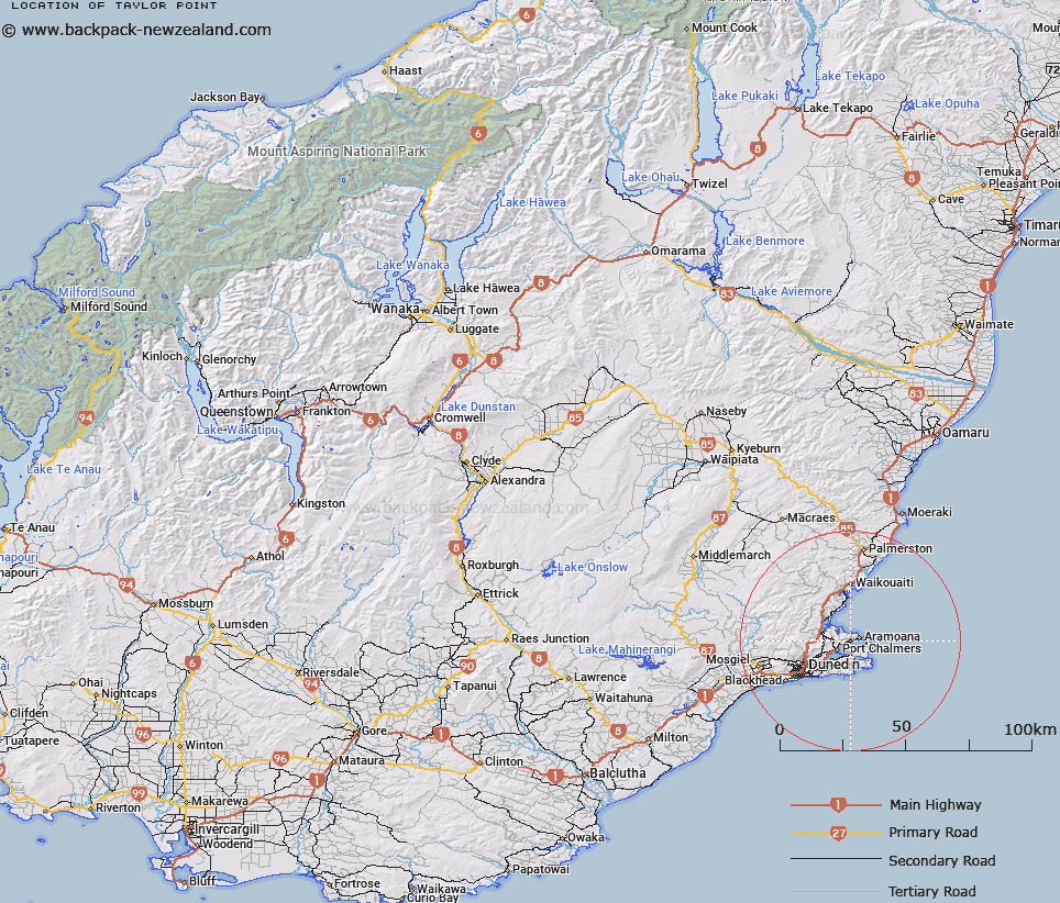
Map showing location of Taylor Point


LINZ description: In Otago Harbour between Waipuna Bay and Dowling Bay
Latitude: -45.789473
Longitude: 170.668701
Northing: 4926700
Easting: 1418800
Land District: Otago
Feat Type: Point


Scroll down to see a more detailed road map and below that a topographical map showing the location of Taylor Point. The road map has been supplied by openstreetmap and the topographical map of Taylor Point has been supplied by Land Information New Zealand (LINZ).

Yes you can use the top static map for you school/university project or personal website with a link back. Contact me for any commercial use.

Taylor Point Map New Zealand


New Zealand places in our database
[ A ] [ B ] [ C ] [ D ] [ E ] [ F ] [ G ] [ H ] [ I ] [ J ] [ K ] [ L ] [ M ] [ N ] [ O ] [ P ] [ Q ] [ R ] [ S ] [ T ] [ U ] [ V ] [ W ] [ X ] [ Y ] [ Z ]


Closest 20 Points to Taylor Point

Otafelo Point ( 0.69km )   Pulling Point ( 1.14km )   Acheron Point ( 2.04km )   Pilot Point ( 3.22km )   Rocky Point ( 3.55km )   Purehurehu Point ( 3.6km )   Goldie Point ( 3.81km )   Heyward Point ( 4.07km )   Harrington Point ( 4.3km )   Harington Point ( 4.3km )   Quarantine Point ( 4.34km )   Taiaroa Head ( 4.99km )   Te Pari o Te Mataahua ( 5.75km )   O te Ukuuku Tuku ( 5.85km )   Rerewahine Point ( 6.09km )   Potato Point ( 6.09km )   Pipikaretu Point ( 6.51km )   Te Whakarekaiwi ( 6.66km )   Kilgours Point ( 6.95km )   Yellow Head ( 7.03km )   Grassy Point ( 8.06km )   Curles Point ( 8.14km )   Doctors Point ( 8.35km )   Titikoraki ( 8.81km )   Ohinepuha ( 9.64km )   Otewhata ( 10.83km )   Cape Saunders ( 11.27km )   Matakitaki Point ( 11.29km )   Harakeke Point ( 12.67km )   Seal Point ( 12.86km )   Brinns Point ( 13.25km )   Black Jacks Point ( 13.51km )   Green Point ( 13.76km )   Burns Point ( 15.08km )   Maori Head ( 15.44km )   Lawyers Head ( 16.97km )   Cornish Head ( 19.14km )   Black Head ( 24.2km )   Bobbys Head ( 29.83km )   Shag Point/Matakaea ( 37.25km )