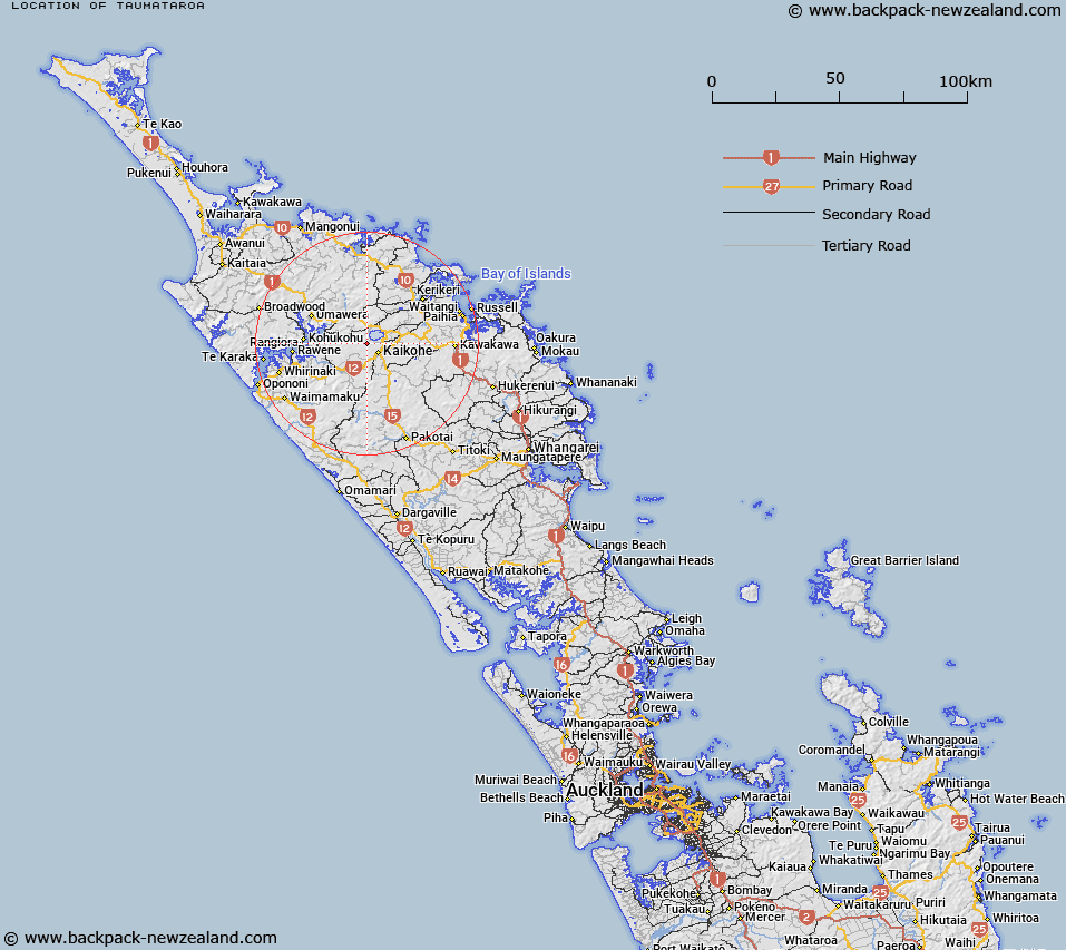
Map showing location of Taumataroa
LINZ description: An area south-west of Lake Omapere and north-west of Kaikohe.
Latitude: -35.376818
Longitude: 173.764046
Northing: 6084900
Easting: 1669400
Land District: North Auckland
Feat Type: Locality
Latitude: -35.376818
Longitude: 173.764046
Northing: 6084900
Easting: 1669400
Land District: North Auckland
Feat Type: Locality

Scroll down to see a more detailed road map and below that a topographical map showing the location of Taumataroa. The road map has been supplied by openstreetmap and the topographical map of Taumataroa has been supplied by Land Information New Zealand (LINZ).
Yes you can use the top static map for you school/university project or personal website with a link back. Contact me for any commercial use.
[ A ] [ B ] [ C ] [ D ] [ E ] [ F ] [ G ] [ H ] [ I ] [ J ] [ K ] [ L ] [ M ] [ N ] [ O ] [ P ] [ Q ] [ R ] [ S ] [ T ] [ U ] [ V ] [ W ] [ X ] [ Y ] [ Z ]