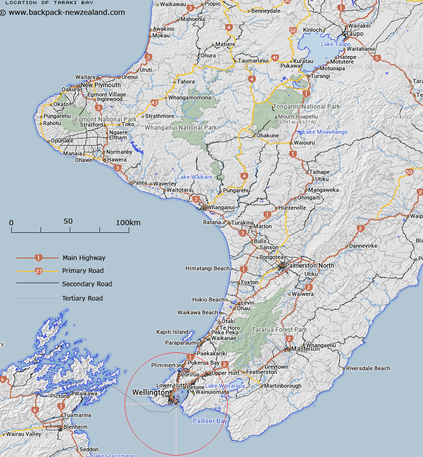
Map showing location of Taraki Bay


LINZ description: Small sheltered bay between Palmer Head and Moa Point
Latitude: -41.344049
Longitude: 174.81903
Northing: 5421452.9
Easting: 1752188.2
Land District: Wellington
Feat Type: Bay


Scroll down to see a more detailed road map and below that a topographical map showing the location of Taraki Bay. The road map has been supplied by openstreetmap and the topographical map of Taraki Bay has been supplied by Land Information New Zealand (LINZ).

Yes you can use the top static map for you school/university project or personal website with a link back. Contact me for any commercial use.

Taraki Bay Map New Zealand


New Zealand places in our database
[ A ] [ B ] [ C ] [ D ] [ E ] [ F ] [ G ] [ H ] [ I ] [ J ] [ K ] [ L ] [ M ] [ N ] [ O ] [ P ] [ Q ] [ R ] [ S ] [ T ] [ U ] [ V ] [ W ] [ X ] [ Y ] [ Z ]


Closest 20 Bays to Taraki Bay

Palmer Bay ( 0.56km )   Reef Bay ( 0.78km )   Flax Bay ( 0.98km )   Eve Bay ( 1.28km )   Breaker Bay ( 1.68km )   Waitaha Cove ( 2.27km )   Lyall Bay ( 2.34km )   Princess Bay ( 2.61km )   Houghton Bay ( 3.02km )   Worser Bay ( 3.29km )   Island Bay ( 3.98km )   Evans Bay ( 4.13km )   Karaka Bay ( 4.62km )   Shark Bay ( 4.65km )   Ohiro Bay ( 5.08km )   Owhiro Bay ( 5.08km )   Scorching Bay ( 5.21km )   Shelly Bay ( 5.28km )   Kio Bay ( 5.28km )   Camp Bay ( 5.3km )   Weka Bay ( 5.62km )   Balaena Bay ( 5.84km )   Mahanga Bay ( 5.93km )   Little Karaka Bay ( 6.1km )   Fitzroy Bay ( 6.37km )   Kau Bay ( 6.41km )   Oriental Bay ( 6.58km )   Lambton Harbour ( 7.23km )   Robinson Bay ( 7.27km )   Wellington Harbour (Port Nicholson) ( 8.65km )   Rona Bay ( 8.93km )   Days Bay ( 9.52km )   Sunset Bay ( 10.6km )   Sunshine Bay ( 10.6km )   Mahina Bay ( 10.63km )   York Bay ( 11.14km )   Lowry Bay ( 12.21km )   Whiorau/Lowry Bay ( 12.21km )   Sorrento Bay ( 12.33km )   Cave Bay ( 14.94km )