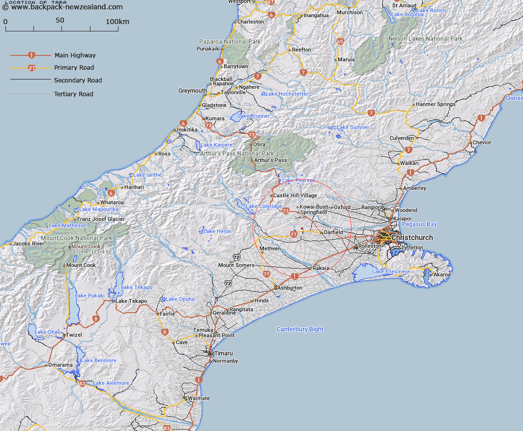
Map showing location of Tara


LINZ description: At head of Waitaki Valley between Waitaki and Waihao Rivers west of Tara Locality
Latitude: -43.45525
Longitude: 171.956792
Northing: 5188100
Easting: 1515600
Land District: Canterbury
Feat Type: Trig Station


Scroll down to see a more detailed road map and below that a topographical map showing the location of Tara. The road map has been supplied by openstreetmap and the topographical map of Tara has been supplied by Land Information New Zealand (LINZ).

Yes you can use the top static map for you school/university project or personal website with a link back. Contact me for any commercial use.

Tara Map New Zealand


New Zealand places in our database
[ A ] [ B ] [ C ] [ D ] [ E ] [ F ] [ G ] [ H ] [ I ] [ J ] [ K ] [ L ] [ M ] [ N ] [ O ] [ P ] [ Q ] [ R ] [ S ] [ T ] [ U ] [ V ] [ W ] [ X ] [ Y ] [ Z ]


Closest 20 Trig Stations to Tara

Round Top ( 20.33km )   Tihiokahukura ( 61.57km )   Harris ( 68.93km )   Weka ( 77.96km )   Rangitata ( 84.34km )   Coldstream ( 84.34km )   Rabbit Hill ( 88.7km )   Pahau ( 99.83km )   Koiterangi ( 101.5km )   Kowhitirangi ( 101.5km )   Chastleton ( 111.44km )   Mount Saul ( 112.8km )   Flintoff ( 113.32km )   Flintoft ( 113.32km )   Faerie Queene ( 140.04km )   Te Huruhuru ( 142.97km )   Pentland Hill ( 161.48km )   Yellow Hill ( 161.48km )   Tutaki ( 184.66km )   Kohurau ( 198.68km )   Nestor ( 206.1km )   Kauru Hill ( 207.48km )   Kauroo Hill ( 207.48km )   Korere ( 224.89km )   Obi ( 225.15km )   Haycock ( 227.86km )   Moeraki ( 230.91km )   Kohatu ( 233.95km )   Waihemo ( 235.48km )   Dovedale ( 252.85km )   Waikouaiti ( 259.35km )   Dumgree ( 264.16km )   Dukeshead ( 281.36km )   McArthny ( 282.73km )   Murray Peak ( 293.4km )   Mount Pisgah ( 293.4km )   North Taieri ( 294.09km )   Matapehe ( 296.57km )   McLarens ( 296.57km )   Hyde Rock ( 306.93km )